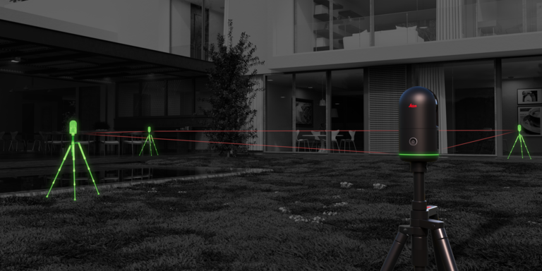
At Leica Geosystems, we have a patented technology called VIS, which stands for Visual Inertial System. That’s a technical sounding name, and it’s a powerful technology. To put it simply, VIS allows your scanner to understand where it is in relation to its previous scan, and it automatically combines all scans in the field so that you spend far less time registering your data downstream. It helps you choose ideal scan positions, understand what data you’ve captured (and what you haven’t), and see the overall picture of your project while you work.
This technology is well-known in the Leica RTC360 and just made its first appearance in the Leica BLK series with the all-new Leica BLK360. But how does it work? What’s the technology itself, and how does it fit into Leica BLK?
VIS explained
This is going to get a bit technical. When you’re using VIS, it’s important to understand how it works, even though it is, at the end of the day, a technology that makes your job easier, faster, and more intuitive.
VIS is a method of Visual SLAM. SLAM, or Simultaneous Localization and Mapping, is a technology that allows, for our purposes, a laser scanner to be carried or move through space, to understand its location, and to capture data while in motion – like the Leica BLK2GO, BLK2FLY, and BLK ARC.
Visual SLAM identifies similarities and differences in the environment that the scanner’s cameras capture to determine where it is in space. VIS uses Visual SLAM combined with an IMU (which measures motion like speed and angle) to understand the scanner’s position in relation from one point to another. So, once you’ve finished a scan with the all-new BLK360 or RTC360, VIS will track the scanner’s position as you move it from one location to the next.
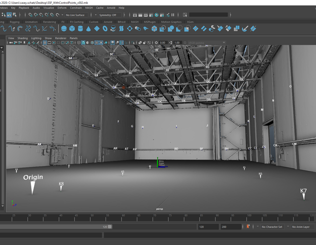
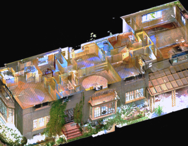
Then, when you capture your next scan, VIS automatically aligns those two scans together—and on and on throughout your project, from one scan to the next. What you end up with is a dataset that’s easily registered together once you get back into the office—no manual alignment or pre-registration required.
The all-new BLK360 and VIS
While VIS made its debut on the Leica RTC360, we’ve taken this technology, miniaturized it, and built it into the all-new BLK360 – which is about the size of a soda can. The new BLK360 captures a scan with images within 20 seconds, which is the fastest reality capture solution on the market.
When you add VIS to the BLK360, then you’re dealing with a tiny but mighty scanning package.
Imagine being on a job site where you have limited time to scan and, with project deadlines looming, even less time to process your data. First off, if you’re using the new BLK360, speed is on your side. 20 seconds per scan. What might’ve taken hours can take minutes.
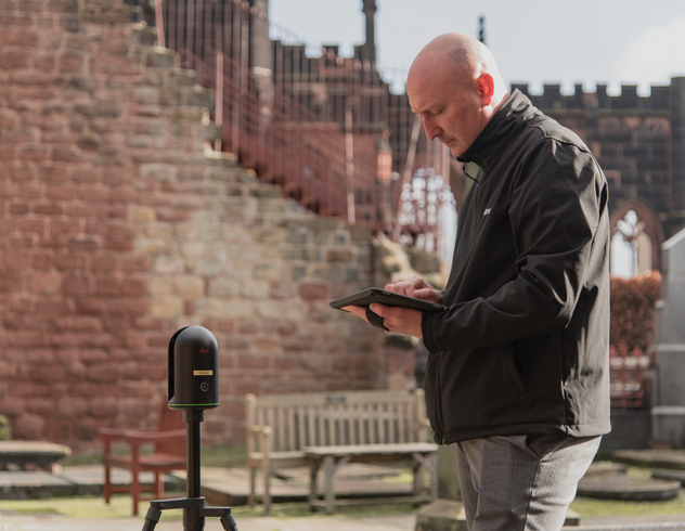
The beautiful benefit to adding VIS is that it speeds up the process even more. While you’re scanning with the all-new BLK360, you can use the BLK Live app to see how VIS works in real-time. Check out how your data is automatically combined—and then imagine how much time you’ll save in the office.
While you’ll still need to take some final steps to ensure the proper registration of your data, your workflow will be so much faster and easier thanks to VIS. Not only will VIS help you understand what you’ve captured and from which setup, but it speeds up the work you need to do post-scanning.
VIS puts it all together
VIS adds measurable, impactful benefits to any laser scanning workflow. Save time. Cut costs. Gain speed. Get automatically combined scans when you finish the job. And enjoy a more intuitive scanning experience on-site.
With VIS technology now available on the new BLK360, we look forward to seeing how many more users get out there in the world and make the most of VIS. And if you’d like, you can read a much more detailed explanation of VIS technology here.


