Leica Geosystems
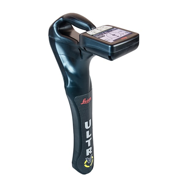
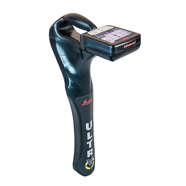
ULTRA
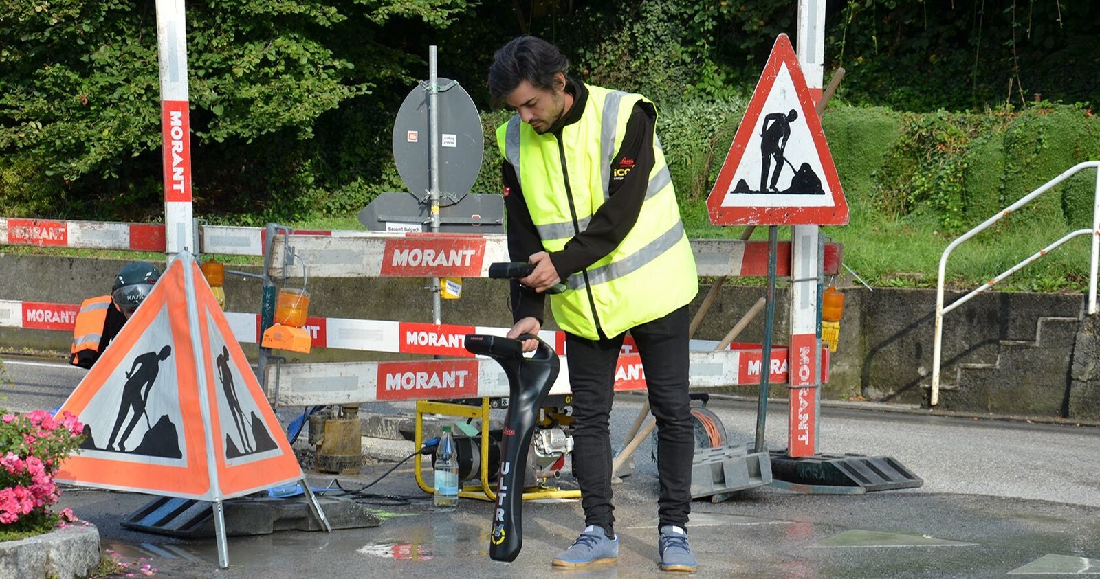
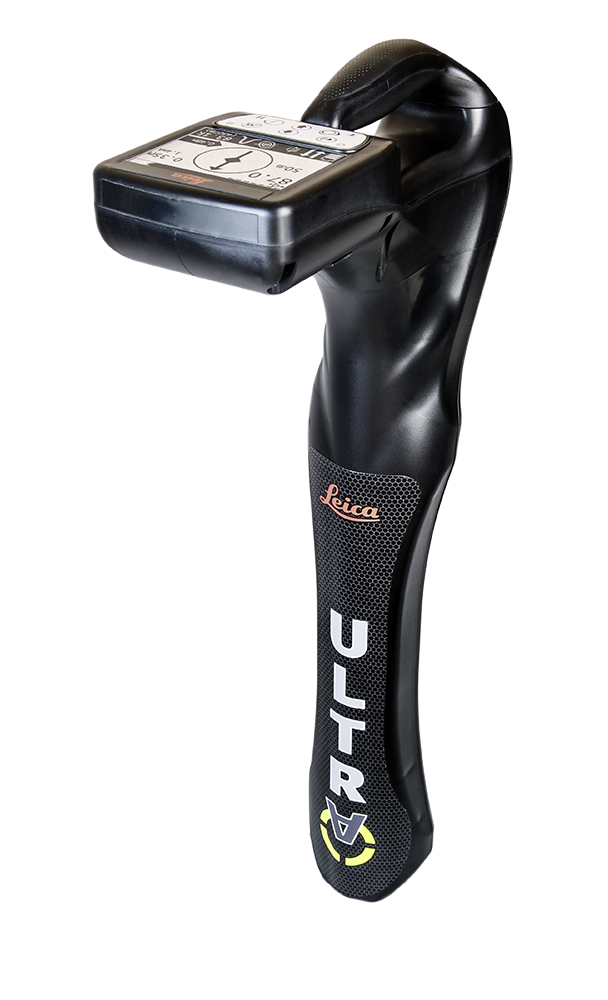
The Leica ULTRA provides our most advanced precision utility tracing system. Intelligent signal processing has been integrated with unique flexible operating modes, to help save you time and increased confidence in your results. Selectable antenna and customized frequencies optimizes your instrument for site-specific applications.
Help Me Choose
Underground utility networks are continually becoming more complex.
This complexity makes obtaining precise information on the location of buried utilities both more difficult and more crucial than ever.
The Standard ULTRA locating features a multitude of frequencies and selectable antenna locating modes.
The Advanced system builds on the Standard offering with wireless communication between the locator and transmitter to adjust frequencies and increase power. Offset depth measurement allows the locator to identify the target line when not directly accessible from above. The Ambient Interference Measurement (AIM) system analyzes the surrounding area for noise and recommends the best frequencies for accurate utility locating.
| 6 | 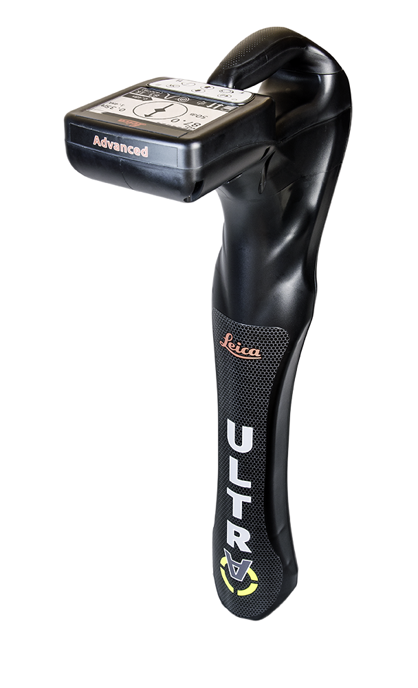 |
 |
|---|---|---|
|
ULTRA Advanced |
ULTRA Standard |
|
| Passive Modes |
✓ |
✓ |
| Active Modes |
✓ |
✓ |
| Frequency Range |
50Hz - 200kHz |
50Hz - 200kHz |
| Max Stored Frequencies |
100 |
100 |
| Line Direction Compass |
✓ |
✓ |
| Proportional Guidance Arrow |
✓ |
✓ |
| Offset Depth Measurement |
✓ |
|
| Receiver / Transmitter Comms |
✓ |
|
| AIM |
✓ |
|
| Price |
|
|