MobileAssessor
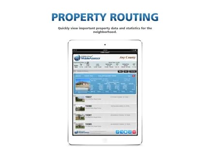
The first software of its kind to optimize field data collection for the mass appraisal market. Hosted on the cloud and compatible with all data platforms, MobileAssessor fully integrates with any CAMA system and works seamlessly with imagery from most mainstream providers. Using live GPS and GIS mapping, MobileAssessor makes it easy to review property data, capture and modify data, and set flags from the field or in the office. Automated CAMA synchronization and convenient record access empower appraisers to get more done in less time.

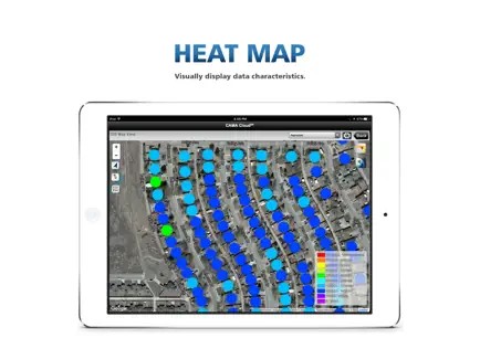
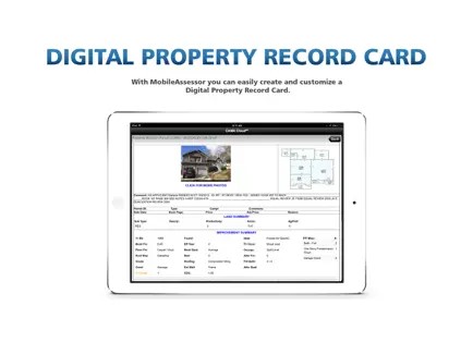
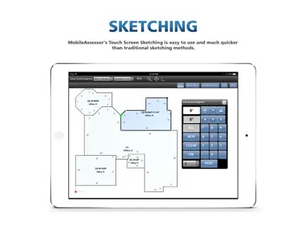
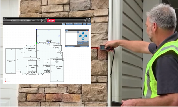
The Disto Laser sketching integration with MobileAssessor allows the user to overcome physical obstacles such as a privacy fence, rough terrain, dogs and agricultural/restricted access properties. It's also great for large commercial properties. Simply point and shoot the Disto and the measurements are sent directly to MobileAssessor, sketched, and synchronized back to CAMA and other CAMACloud modules. We recommend the D810 for frequent use and in areas with obstructions (fence, rough terrain, etc.) or E7500i for frequent use if obstacles aren't a major concern. The D2 is a great economical option for infrequent use or smaller, "cookie-cutter", neighborhoods. The D810 is also recommended for large commercial/industrial properties. We'll be adding support for the X4 within the next year.
Supported models:
• D2
• D510
• D810
• S910
• E7100i
• E7500i
We recommend the D810 for frequent use and in areas with obstructions (fence, rough terrain, etc.) or E7500i for frequent use if obstacles aren't a major concern. The D2 is a great economical option for infrequent use or smaller, "cookie-cutter", neighborhoods. The D810 is also recommended for large commercial/industrial properties. We'll be adding support for the X4 within the next year.