Leica DXplore Survey
CA$2,950

DXplore Survey License
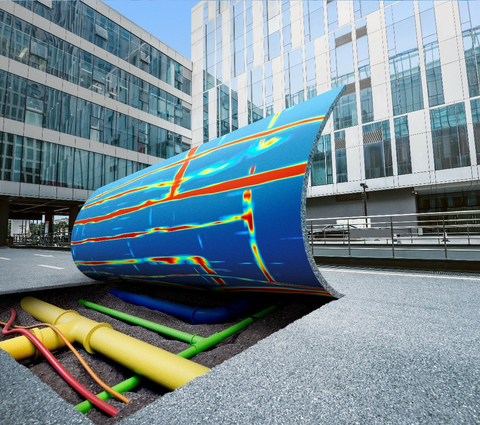
The Leica DSX maximizes productivity with cutting-edge software that automates data analysis and creates a 3D utility map on the field.
| DXplore | Starter | Surveyor | |
|---|---|---|---|
| Setup | Animation tutorials | ✓ | ✓ |
| Status check (connection, battery level, etc.) | ✓ | ✓ | |
| Project and draft management | ✓ | ✓ | |
| GNSS and TPS connection wizard | ✓ | ||
| GNSS/TPS aided project and grid definition workflow | ✓ | ||
| Project management | ✓ | ✓ | |
| Acquisition | Grid Scan mode | ✓ | ✓ |
| Quick Scan mode | ✓ | ✓ | |
| Radar sensor control (scan and pause, etc.) | ✓ | ✓ | |
| DSX cart position and scan trajectory displayed in 3D | ✓ | ✓ | |
| Real-time scan trajectory from GNSS/TPS | ✓ | ||
| Positioning | Location from wheel encoders | ✓ | ✓ |
| Google Maps and current location support | ✓ | ✓ | |
| Local coordinate system support | ✓ | ||
| GNSS antenna and TPS support | ✓ | ||
| Accuracy check in all screens | ✓ | ||
| Geoid corrections | ✓ | ||
| Process & Analysis | On-site radar tomography generation | ✓ | ✓ |
| POI support | ✓ | ✓ | |
| Utility marking | ✓ | ✓ | |
| Semi-automatic utility verification | ✓ | ✓ | |
| Utility depth calibration with user input | ✓ | ✓ | |
| Georeferencing with positioning data | ✓ | ||
| View | Animation on tomography slices | ✓ | ✓ |
| 2/3D view | ✓ | ✓ | |
| Horizontal/Vertical scans | ✓ | ✓ | |
| Contrast Slider | ✓ | ✓ | |
| Lead to utility viewer | ✓ | ||
| Import | Utility records in DXF, DWG and ESRI shape file | ✓ | |
| Multiple layer support | ✓ | ||
| Export | Report in PDF format | ✓ | ✓ |
| Detected utilities in DXF format | ✓ | ✓ | |
| Tomography in png, jpg, tiff, bmp, and gif format | ✓ | ✓ | |
| Output in selected local coordinate systems | ✓ | ||
| MC1 (.lok supported) | ✓ | ||
| WGS84 ellipsoid, reference ellipsoid, orthometric height | ✓ |