02/11/2022
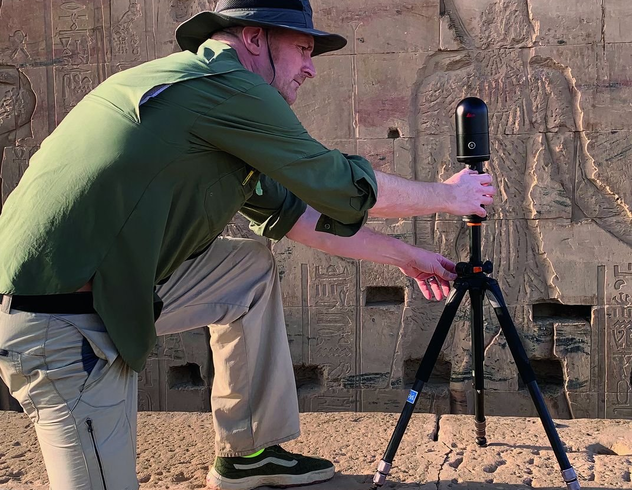
Reality capture company FLT Geosystems scanned a 101-foot yacht using the Leica BLK360 G1. This video flythrough of the point cloud of a yacht demonstrates the level of detail captured by the BLK360 G1 in each of their Lidar scans. Point cloud data was then processed to produce the video you see above.
Disclaimer: This blog post features data capture with the Leica BLK360 G1. Explore the expanded capabilities of the latest BLK360 model here.


