06/15/2021
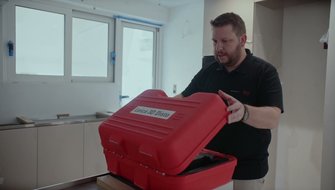
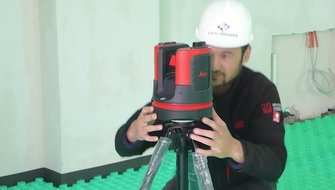
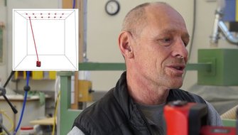
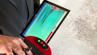
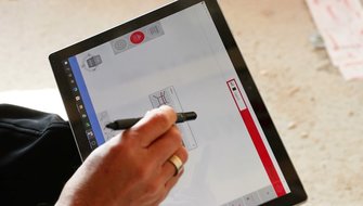
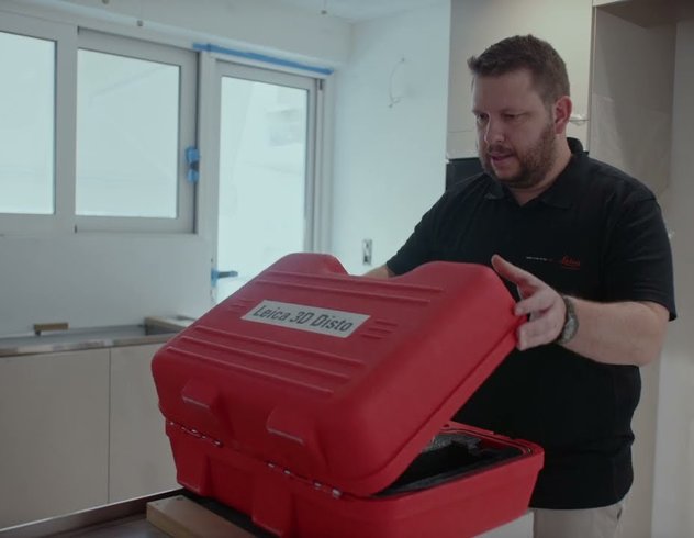
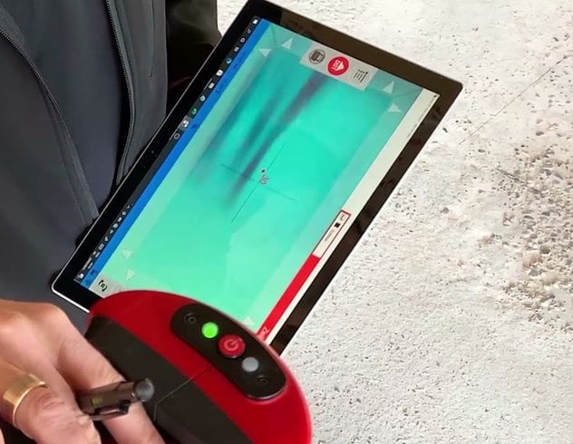
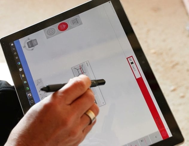
In this video, manual measuring with the Leica 3D Disto is explained step by step. The first point that is measured in a new project is used as the starting point for the coordinate system, i.e. is given the coordinates 0.0 and a corresponding height based on the previously measured reference height. The second measured point defines the x-axis. This means that with these first two measurements the orientation of the project is precisely defined ready for further CAD editing at a later point.
