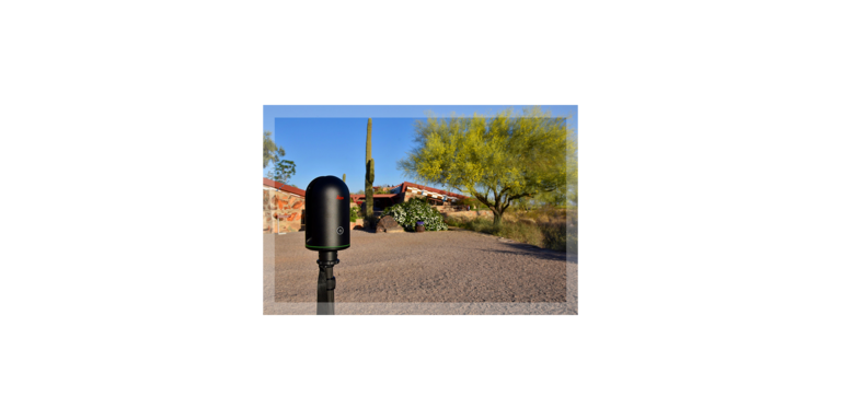
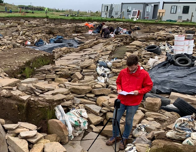
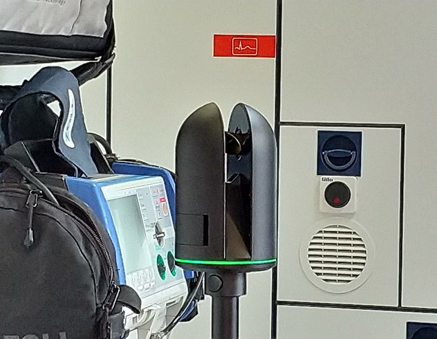
Taliesin West was captured using the world’s smallest and lightest imaging laser scanner, the BLK360 from Leica Geosystems. The digital reality it produces provides a completely new way to experience Taliesin West. The video below shows the property in point cloud form. The point cloud is a dimensionally accurate laser captured representation of the property. This type of data is invaluable for the preservation of Taliesin West.
Disclaimer: This article features the Leica BLK360 G1. Explore the expanded capabilities of the latest BLK360 model here.


