01/16/2024
Background
Follow along as Rami Tamimi surveys the front, back, and side of a building and registers the scans into one complete point cloud model. He uses a Leica BLK360 to survey a total station for control, combined with scans from a smartphone's LiDAR sensor to fill in the gaps. Look out for tips and tricks like using the Leica Cyclone FIELD 360 app to manage the entire data collection process on your phone, using targets to georeference data into the survey, and annotating your targets and heights using the coordinates captured by the total station.
Here's a workflow you can adapt based on Tamimi's video.
Total Station
First, set control points using the total station. Later on, set the targets on these points so that you can georeference this scan in the local coordinate system. (Skip ahead to 1:05 to see how this is done using your total station with Leica Captivate)
BLK360
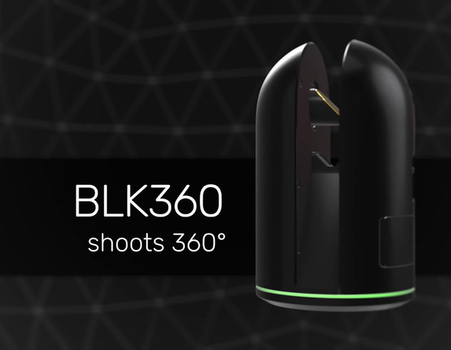
Set up your BLK360 laser scanner in between the three points you set in the previous step. Look for somewhere you can get good coverage for your scan.
To make things easy, all the data collection for this project can be done on the Cyclone FIELD 360 App. Once you've connected your scanner and created a project, add a photo of the job site as a reference. Click the VIS button on the mobile app and set the preferences for your scan before initiating it. Your BLK360 will then begin capturing images and stitching them together. After making the necessary annotations in your software, you are ready to proceed to the second and third scans. (Skip ahead to 4:00 for full details on BLK360 use on this project).
Cyclone FIELD 360
Believe it or not, the rest of this project can be done right on your mobile phone. The next step is to register your scans so that they are referencing each other in the correct location. The Optimize feature in Cyclone FIELD 360 assists with this alignment. If you prefer to save the software workflow for back in the office, Cyclone REGISTER 360 PLUS is the desktop software you need. (Skip ahead to 8:22 to see how to register your scans and add annotations in the app).
LiDAR Scan
Finally, if there are any gaps in your point cloud, those will need to be filled in. You could set the BLK360 back up to take some additional scans, or to save time, you can use the LiDAR sensor on your iPhone. After selecting the scan on the Field360 App, select the annotate option and capture the missing data just by recording the area you would like to fill in. (Skip ahead to 9:43 to learn how to use your iPhone to fill in your data gaps).


