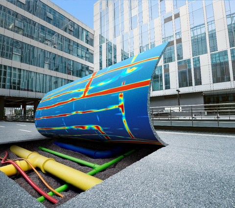
Ground Penetrating Radar - A geophysical method used to investigate the sub-surface or medium it is applied to. It uses high frequency electromagnetic waves in the UHF/VHF frequency range of the radio spectrum. These high frequency signals are transmitted from the system into the ground or medium and the return or reflected signal is received and then displayed back to the operator via the system computer.
The welcome slide from the Leica GPR training course, usually greeted with mixed responses from this is going to be too complicated to understand, to ‘I thought mediums talked to ghosts’. But put simply, a piece of equipment that sends pulses of energy into the ground and then ‘listens’ for the reflected signals coming back to the unit, then displaying this returned information to the user.
Also referred to as Ground Probing Radar, which does sound more intrusive, GPR is actually an excellent Non-Destructive Testing tool. GPR applications range from structural analysis, void detection, utility detection, archaeological investigation, environmental and geotechnical investigations, the list goes on as it is a very versatile tool that can be adapted to many applications and used over a variety of frequencies for differing applications.
How does it work
GPR is magic and should only be performed by masters of the dark art’. Often, we hear of similar sentences from all areas of the industry and to a point I do agree, because as with everything in life, the wrong tool in the wrong hands will not get you what you want. This has been the situation with GPR since it was massively over sold to industry as a ‘see all, glass bottomed boat that will give x-ray like results of the ground’. I’ve been using GPR for 20 years and every day is still a learning day, that’s what keeps me hooked.
When I first used a GPR I had no idea what it could do, or to that point what it couldn’t do, how it did it, or why. As time has gone by, the kits have become much more user friendly, operating software has become much simpler to use with even expert or simple utility modes. Data can be collected today by an operator with only basic knowledge then passed on for interpretation to an expert back at base. Systems today are highly portable with every manufacturer offering a utility locating cart-based system that can access almost all areas. A mornings worth of training and away you go…...right?
All manufacturer’s equipment follows the same basic principles of operation and are bound by the same physical laws;
- The radar unit transmits a pulse of electromagnetic energy into the ground or medium being investigated through an antenna transmitter (TX).
- The electromagnetic energy reflected back from any target, layer or object detected is recorded by the receiving antenna (RX).
- The received signal contains information regarding position and depth relative to the transmit point. The time delay between send and receive signals is dependent on subsurface conditions which affect the velocity propagation of the electromagnetic energy wave
- Data converted from audio to visual signal forms for display to user.
The penetration depth of any electromagnetic signal and its resolution depends on antenna frequency, the power of the electromagnetic wave transmitter, and the electrical properties of the ground it is transmitted into.* This applies to all GPR operations and is important for successful outcomes to your surveys.

Fig 1.1 IDS system signal flow chart
The signals transmitted from the GPR can be reflected and / or refracted in their path to and from the antenna through their respective transmit and receive phases. A target could be a change in sub-surface layer, buried pipes, cables, voids, in fact anything below ground that contrasts electrically with the host medium and works with the GPR signal to promote two-way travel time.
Download the White Paper “ GPR Made Easy” to find out more about GPR.