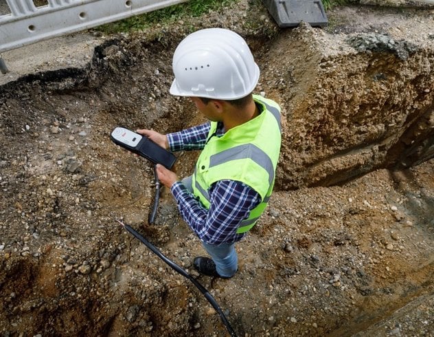
For Pidpa, the public water distribution network manager for the Belgian province of Antwerp, the adoption of Geographic Information Systems (GIS) technology, particularly ArcGIS, has revolutionized its asset management processes over the past two decades. ArcGIS has played a pivotal role in enhancing the management and maintenance of pipeline network assets, transitioning Pidpa from analog asset mapping methods to a more efficient digital approach via GPS integration. By leveraging ArcGIS Field Maps and ArcGIS Survey123 apps on iPads paired with Leica GPS receivers, Pidpa has achieved remarkable improvements in data quality, speed, and cost-effectiveness in locating and identifying underground water pipes. The transition from manual to digital surveying has streamlined field operations, significantly reducing paper-based processes, and minimizing the risk of errors. With this data-driven approach, Pidpa has not only optimized its asset mapping processes but also paved the way for future automation and processing of GPS measurements, setting a precedent for other utility companies to follow suit in leveraging GIS technology for enhanced operational efficiency and data-driven decision-making. The successful implementation of ArcGIS Field Maps has underscored the importance of user-friendly tools in fostering widespread adoption and driving tangible benefits across the organization, marking a significant milestone in Pidpa's journey towards digital transformation and improved mapping processes.

