 RTC
RTC
 BLK360
 BLK360 SE
 BLK2GO
 BLK ARC
 BLK2FLY
 BLK3D
BLK3D
 Accessories
Leica RTC Series
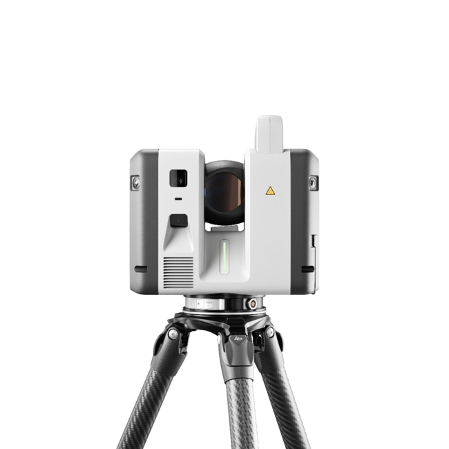
In The Box
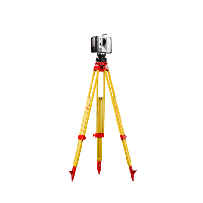
- RTC300 Laser Scanner
- GVP780 Transport Container for RTC
- GEB461 Lithium-Ion Battery
- GKL341 Charger Prof 5000
- RTC Rain Cover
- 2 Year Factory Warranty
- Hexagon GeoCloud, 500GB Data Usage (6 months license)
Related Items
Connected reality capture from field to final deliverable
The Leica RTC series laser scanners are powered by an intelligent software ecosystem that connects field workflows, cloud collaboration, and office processing into one continuous reality capture environment. Built around Leica Cyclone FIELD 360, Hexagon GeoCloud, and Leica Cyclone REGISTER 360 PLUS, the RTC ecosystem enables real-time collaboration between field crews, office experts, and project stakeholders, helping teams move from capture to deliverable faster while improving visibility, coordination, and confidence across every stage of a project.
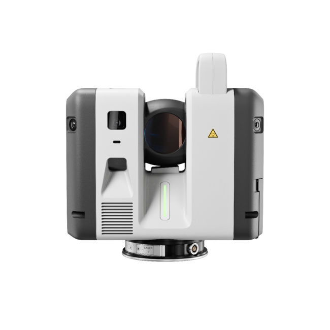
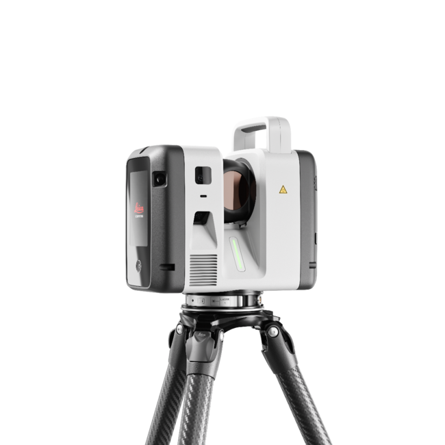
Leica RTC Series Laser Scanners
Leica RTC300
The RTC300 delivers trusted Leica RTC performance in a streamlined configuration designed for agile reality capture workflows and growing project demands. Built for professionals working across building construction, BIM, and general surveying applications, it combines high-speed data capture, trusted Leica accuracy, and connected workflows in a scalable platform. Integrated with Leica Cyclone FIELD 360, Hexagon GeoCloud, and Cyclone REGISTER 360 PLUS, it helps simplify field-to-office workflows while reducing revisits and accelerating deliverables.
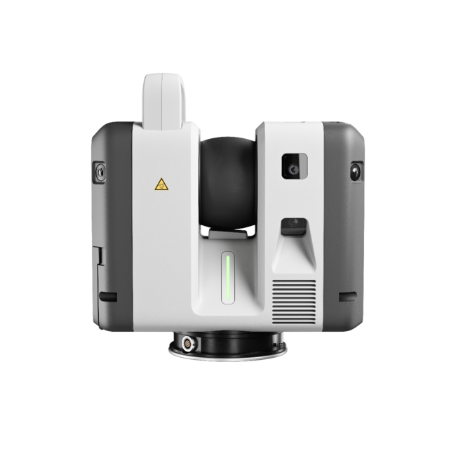
Leica RTC500
The RTC500 balances speed, range, and operational flexibility for professionals working across surveying, infrastructure, and public safety environments. Designed for versatile reality capture operations, it delivers high-performance scanning, rugged reliability, and connected collaboration workflows that adapt to changing project conditions. Real-time synchronisation between field crews and office teams helps improve coordination, reduce bottlenecks, and accelerate project completion. The RTC500 helps teams capture faster, collaborate more effectively, and deliver with confidence.
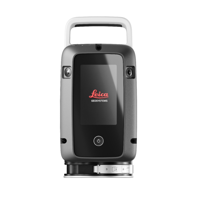
Leica RTC700
The RTC700 delivers the highest performance in the RTC portfolio, combining maximum range, exceptional accuracy, and ultra-fast data capture for the most demanding reality capture challenges. Built for industrial facilities, large-scale infrastructure, and complex surveying environments, it enables professionals to capture high-density 3D data with confidence in even the toughest conditions. Advanced connectivity and real-time collaboration workflows enable multiple teams, scanners, and office experts to operate within a single continuous project environment. Designed to reduce downtime, minimise rework, and support large coordinated workflows, the RTC700 helps organisations move from capture to deliverable faster while maintaining the highest standards of precision and reliability.
Connected Leica Software Ecosystem
Leica Cyclone FIELD 360
Leica Cyclone FIELD 360 is the mobile field companion for the RTC series designed to simplify scan acquisition, field registration, project visualisation, and on-site collaboration, giving operators immediate visibility into scan data and project progress while still in the field. With intuitive workflows and VIS-assisted registration technology, users can capture, organise, and validate scan data in real time without slowing down operations. FIELD 360 helps reduce complexity for both experienced professionals and newer operators, enabling teams to work more efficiently and leave the job site with greater confidence.
Leica Cyclone REGISTER 360 PLUS
Leica Cyclone REGISTER 360 PLUS helps users register, manage, refine, and deliver high-quality point cloud data efficiently at the office. Integrated directly into the RTC workflow ecosystem, REGISTER 360 PLUS It is designed for fine-tuning point clouds, finalising registration, exporting to nearly any point cloud and data file type, and publishing final reporting on registration work, including errors, overlap, and tolerances.
Hexagon GeoCloud
Hexagon GeoCloud acts as the collaborative backbone of the RTC ecosystem, enabling real-time synchronisation between field crews, office teams, scanners, and cloud-connected workflows. As scan data is captured in the field, project information becomes visible across connected environments, helping teams coordinate activities and make decisions faster. This connected workflow architecture helps eliminate delays between capture and processing while improving operational visibility across large or complex projects.
Visit the Leica RTC product page for a detailed product overview.
Download Spec Sheet
English (US) | English (UK) | German | Danish | Spanish | Finnish | French | Hungarian | Italian | Japanese | Korean | Dutch | Norwegian | Polish | Portuguese | Portuguese (Brazil) | Swedish