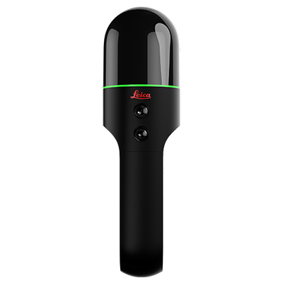
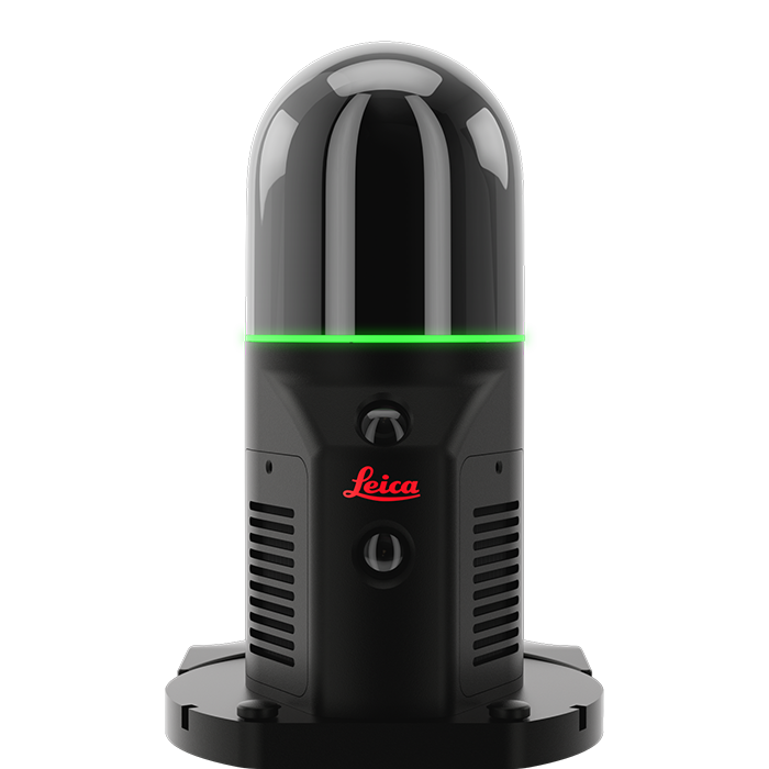
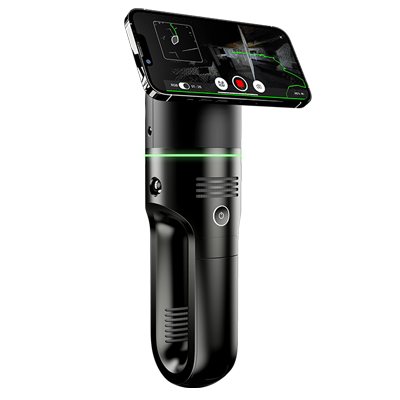
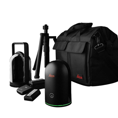
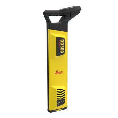
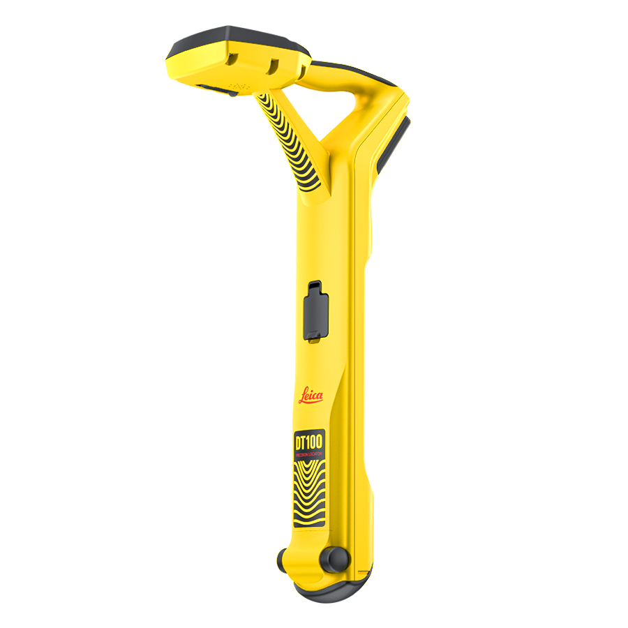
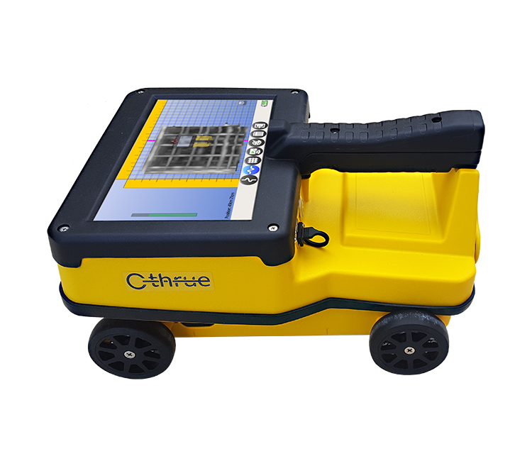
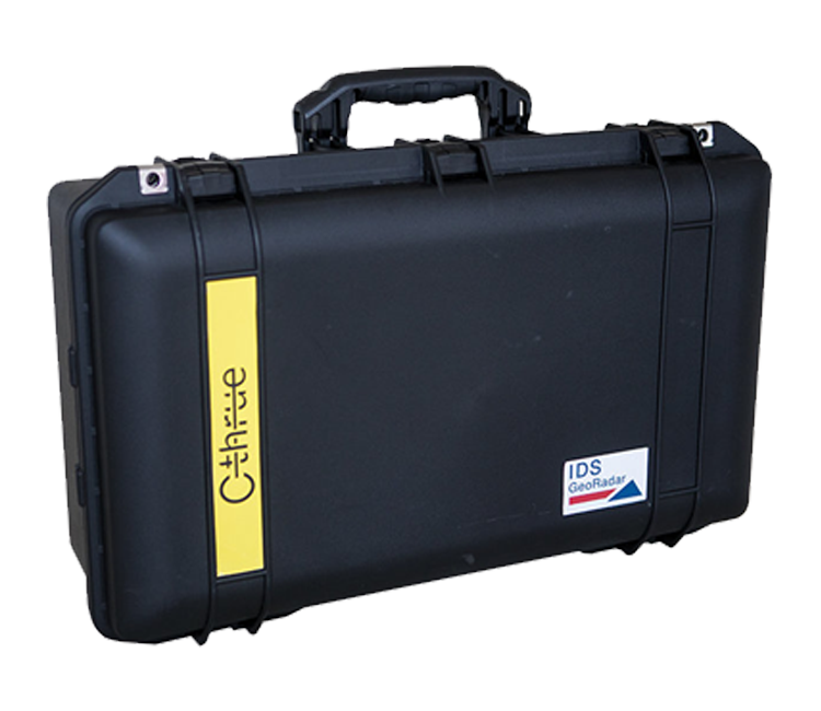
画像 Leica Geosystems Online Catalog 製品を選択するか、お問い合わせください。 Reality Capture | Laser Measurement Tools | Utility & Subsurface Detection Tools | Mapping and GIS | Survey Reality Capture Laser Scanner 画像 RTC Series現場での事前合成とリモートでの連携を組み合わせ、現地作業時間を最小限に抑え、再訪の必要をなくす超高性能3Dレーザースキャニングソリューションです。 SHOP RTC Laser Scanner 画像 BLK360 ワンボタンのシンプルな操作性とアプリによる制御によって、レーザースキャナーのデータをCADワークフローに取り入れることが出来ます。BLK360は、その携帯性と使いやすさから、初めてのスキャナーとしても、機種追加としても最適です。 SHOP BLK360 Handheld Laser Scanner 画像 BLK2GO BLK2GOは、大きな建物や構造物、環境をスキャンする最も簡単な方法です。ボタンを押して歩くだけで、ハンドヘルドスキャナが短時間で3Dデジタルツインをキャプチャします。 SHOP BLK2GO Robot Mounted LiDAR 画像 BLK ARC ロボット用自律型レーザースキャニングモジュールです。Leica BLK ARC は、リアリティキャプチャをさらに進化させます。ロボットキャリアにインテグレートされたBLK ARCは、完全に自律的なスキャンを行い、リモートおよびオフラインでのスキャンミッションプランニングが可能です。 SHOP BLK ARC Drone Mounted LiDAR 画像 BLK2FLY BLK2FLYは、飛行中に建物の外観や構造、周辺環境などをキャプチャし、3D点群を生成します。 SHOP BLK2FLY First-Person Scanner 画像 BLK2GO PULSE Leica BLK2GO PULSEは、現場ですぐにカラー化された3D点群データを提供するハンドヘルド型ファーストパーソンスキャナーです。 SHOP BLK2GO PULSE Handheld Photogrammetry 画像 BLK3DLeica BLK3Dは、高さ、幅、奥行きの測定可能な3D Imageを撮影するフィールドデバイスであり、3Dデータの取得、測定、共有を簡単に行うことを可能にしています。 SHOP BLK3D Accessories 画像 Accessoriesバッテリー、バッテリーチャージャー、三脚アダプター、キャリーバッグ含む, のアクセサリーや交換パーツのワンストップ・ショッピング SHOP ACCESSORIES Software 画像 Software Leica Cyclone REGISTER 360 PLUS、Leica Cyclone REGISTER 360 PLUS (BLK Edition)、Cyclone 3DR、CloudWorx Ultimate、BLK3D Desktop / Mobileのサブスクリプションの購入または更新。 SHOP SOFTWARE Laser Measurement Laser Distance Meters 画像 DISTO 30年前にレーザー距離計を発明し、ポイントファインダーカメラや2点間距離測定(P2P)など、業界初のテクノロジーを導入し続けています。 SHOP DISTO Laser Levels 画像 Lino カテゴリーをリードするレーザーレベルの精度と品質を備えています。 SHOP LINO iCON Construction Tools 画像 iCON trades Leica iCON trades is a 3D measurement solution designed for as-build measurements and templating. It features the unique wireless Leica vPen for high precision and increased efficiency. さらに詳しく Accessories 画像 Accessories レーザー測定に必要なライカ品質のアクセサリーの使用を推奨します。 SHOP ACCESSORIES Utility & Subsurface Detection Tools Ground Penetrating Radar 画像 GPR 地下埋設物の回避とマッピングのための地中レーダー SHOP GPR EM Cable Locator 画像 DD Locators ユーティリティ検知 EMロケーター - 作業現場で埋設されたユーティリティを発見し、マーキングします。 SHOP LOCATORS EM Cable Tracer 画像 Cable Tracer Deliver exceptional accuracy and reliability in locating underground utility lines with advanced signal processing and flexible operating modes. SHOP TRACERS Concrete Scanners 画像 C-Thrue C-thrueは、コンクリート構造物の正確なスキャンとリアルタイム分析のためのオールインワン地中レーダー(GPR)です。フルサイズまたはハンドヘルドパッケージの偏波共用ソリューション SHOP C-Thrue Accessories 画像 Accessories ディテクションの機能拡張や、バッテリー、交換部品、キャリーバッグのオーダー SHOP ACCESSORIES Mapping & GIS GPS 画像 FLX100 plus Leica Zeno FLX100 plus スマートアンテナ マルチコンステレーションサポート (GPS、Glonass、Galileo、BeiDou) SHOP FLX Survey Accessories 画像 Accessories ライカ ジオシステムズ測量機器用アクセサリーと消耗品セレクション SHOP SURVEY