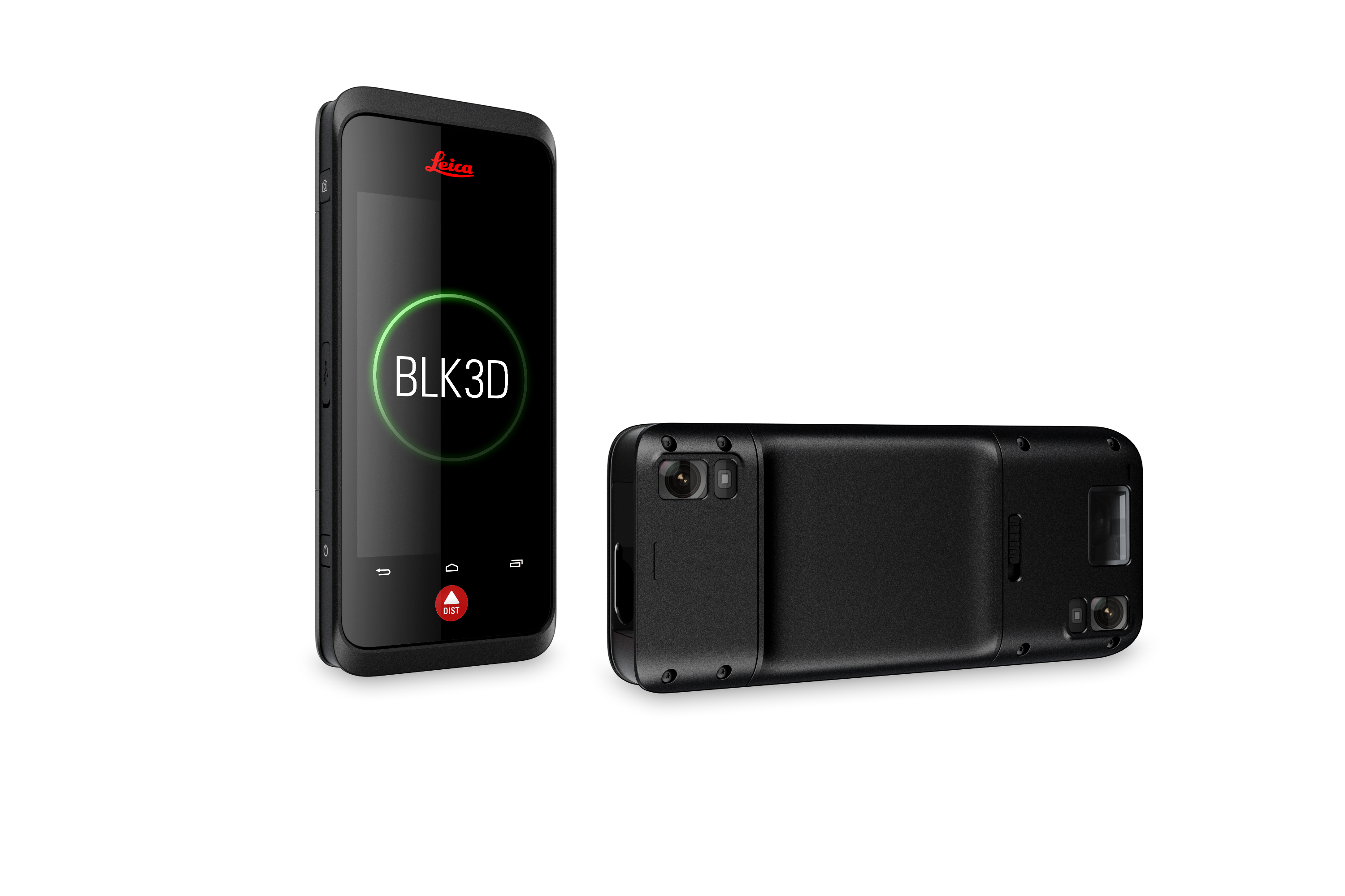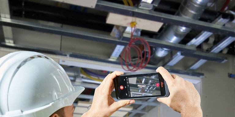
Want a compact, robust photogrammetry tool to round out your 3D scan projects – or to use as a standalone measurement device? Look no further than the Leica BLK3D.
The smartphone-sized handheld uses stereo cameras and Leica’s native software to capture powerfully precise 3D images in real-time for quick, accurate measurement of objects within the frame that can be used on their own or geotagged into your existing scan data.
The BLK3D also doubles as a field controller for your Leica RTC360 or BLK360, allowing you to fill in scan shadows out of your scanner’s line of sight without moving the scanner and initiating a new scan, as well as documenting hidden elements that may contain important data like plumbing systems, electrical panels, or anything you might need that’s hidden behind a wall or access door.
Behind the Tech
Knowing the points in space where each image is taken is necessary for creating an accurate 3D model, which the BLK3D can accomplish with its fixed stereo cameras that are calibrated at a precise distance apart from each other to produce consistent 3D images with every shot. “Without a stereo camera, you’d have to take two images. The software would have to find identical points between the two images and see how they moved in relation to each and calculate the difference between them,” Andy Fontana said, BLK Technical Specialist explained. “It’s a pretty heavy computation process.”
So, while it may look like a smartphone, BLK3D’s inner workings set it apart.
“A single-camera system I don’t think could ever do better than a fixed stereo system like with the BLK3D,” Andy said.
Powerful Pocket Photogrammetry in the Field
Used as a standalone device, customers from architects to utility companies have found the BLK3D to be an essential tool in their everyday arsenal.
“Before the BLK3D, you’d have two people doing the measurements manually, but now you can have one person out there with a BLK3D and a hot stick [a manual measurement device] as a backup,” said Chris Burton, a Field Project Manager with Alden Systems, an infrastructure management software and services company based in Birmingham, Ala.
“Now I go to the pole and simply take pictures with the BLK3D,” Burton said. “The data that the BLK3D collects—pole height, attachment heights and the distance between them, guywire placements, and other components for structural load analysis—goes right into Task Agent™ [Alden’s propriety software], which then gets back to our data engineering team.”
On the other side of the spectrum, Scott Siegel, an architect with three decades of experience in residential renovation and commercial interior designs, said the BLK3D has revolutionized his efficiency when taking critical measurements on the job site.
Rather than having to return to a job site with a tape measure if he missed a detail, the BLK3D lets him simply review an image and take a measurement digitally, or, if he must, return to the job side with just the tiny device in hand.
The BLK3D has become his primary tool, he said, and particularly handy for both home kitchens (which are difficult to measure), commercial spaces with hard-to-access trusses, and other spaces.
Anything that is out of reach, I can capture with the BLK3D
Integration with Existing Leica Software and Hardware
The BLK3D is an exceedingly capable standalone tool, but it gains an extra step when integrated into the workflows of Leica’s popular BLK360 and RTC360 laser scanners.
With the latest version of Cyclone FIELD 360 installed on the BLK3D, users can scan and register with both the BLK360 and the RTC360 in the field. Adding in the onboard photogrammetry makes the BLK3D a perfect compact controller for the job site.
“With tripod-mounted laser scanners, it's all line of sight,” Steve Gross said in a demonstration video on using the device to measure an open wall. “So our point cloud will show the plaster, the studs, and even a pipe but will not identify is the L-shape behind the plaster. With the BLK3D, we can add a measurable image as a geotag in the point cloud that could be referenced later in our LGS file.”
“Regardless, if I'm using Cyclone REGISTER 360, TruView, or JetStream, all I have to do to access that information is simply select the geotag, execute it, and the system will launch BLK3D Desktop and I can then measure inside of that cavity,” he added.
BAM Construction in the UK is using the BLK3D in just this fashion, having implemented it on a 54,000 square meter office development project last year, not only adding efficiency to their days but improving safety as well.
“We’ve used the BLK3D for door openings on the blockwork and brickwork without using tape measures,” Tom Lovegrove, Project Manager for BAM Construction. “And we can take measurements of door heights or soffit heights without needing to go up ladders or use any sort of access equipment. It’s a safer method than actually getting up there.”
Site Manager Michael Reidy agreed, noting its ease of use compared to more complicated setups.
“It’s just as easy as any mobile-held device. There’s no need to set up like you would with a total station, against the grid-referencing system,” he said. “You can just take it out as if it was a normal camera on your phone and then get the benefit of measuring areas and distances as well.”

 BLK360
 BLK2GO
 BLK2GO PULSE
 BLK ARC
 BLK2FLY
 BLK3D
BLK3D
 BLK247
 Software
 Accessories
