AN AFFORDABLE AND HIGHLY COMPACT MAPPING SYSTEM
FOR CRIME AND CRASH INVESTIGATORS.
What is the DISTO?
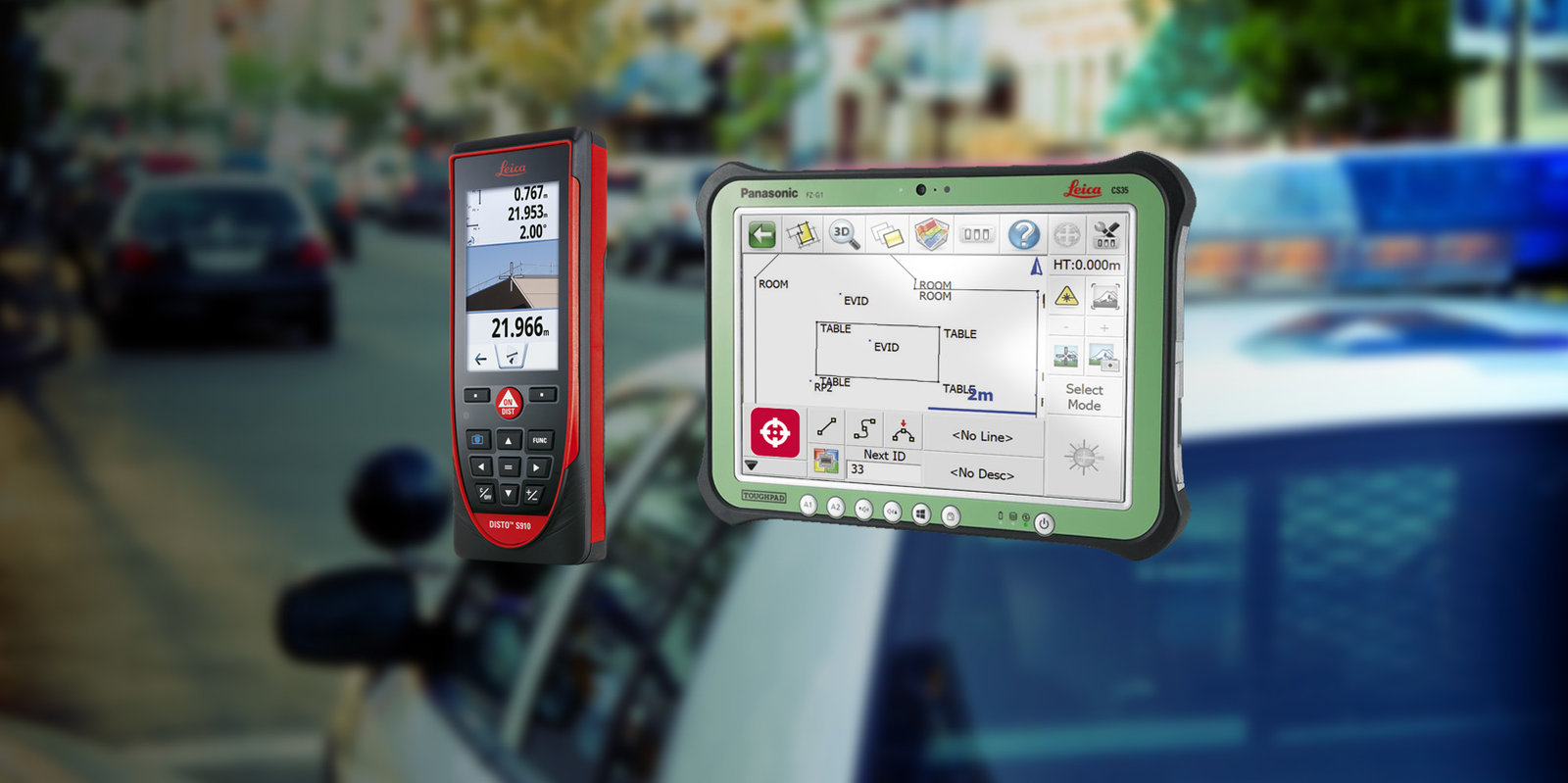
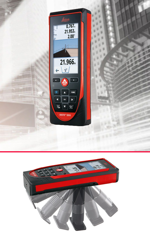
The Leica DISTO S910 is a budget friendly laser measurement device used for evidence collection at indoor or outdoor scenes. It is easy to use and cost effective. It is equipped with a laser pointer and an in line internal camera with four-level zoom. The onboard camera takes a photo of each measurement to include with your scene diagram. The laser can achieve distances measurements up to a millimenter accuracy.
DISTO Features
Laser Distance Measurer with Smart Base
The Smartbase records horizontal and vertical angles associated with the laser distance measurement. This allows users to measure the spatial location of evidence points in 3D.
Target Pole
Provides support to measure points that can not be measured directly with the “laser dot”.
Rapid Sensor Calibration
Takes less than 30 seconds with the on screen illustration.
Wireless connection
The DISTO S910 provides a WiFi communications hotspot so any windows PC or tablet running Evidence Recorder can be used with the DISTO S910.


What is Evidence Recorder?
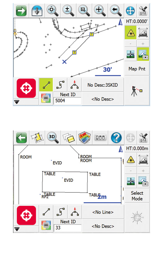
Evidence Recorder, part of the Leica Geosystems Incident Mapping Suite, is the world's best-selling evidence collection software built specifically for the Crash and Crime reconstructionist. Review your measurements in 2D or 3D and confirm there are no errors or missing points before leaving the scene. Evidence captured-correct and comprehensive, every-time.
Evidence Recorder installs on either Windows Mobile or Windows Tablets and Laptops. Device not included.
Evidence Recorder Features
Assistant Workflow
With Assistant mode turned on Evidence Recorder intuitively walks the user through instrument setup options to ensure an efficient setup at the scene, providing confidence in gathering complete and accurate evidence measurements.
Reference Measurement
Use taped measurement of 2 points to verify instrument reading. The results are stored in encrypted measurement file, Validating your equipment at each scene is measuring accurately.
AutoMAP Library
Automates line work allowing you see your diagram take shape at the scene. AutoMAP library description lists are fully customizable and will automatically synchronize to Map360.