Besuchen Sie uns auf der INTERGEO 2021 am 22. September in Hannover zum Leica BLK Autonomy Day.
Halle 23; Stand 23A.24
Erleben Sie unsere neuen autonomen BLK-Sensoren, die Räume ohne menschliches Zutun erfassen. Nutzen Sie die Chance, die autonomen BLK-Technologien mit ihren Funktionen und Anwendungen persönlich kennenzulernen! Nehmen Sie an unserem Vortrag „Das Zeitalter der Autonomie – Der nächste Schritt in der Evolution der BLK-Serie“ um 12.00 Uhr oder um 16.30 Uhr teil, und buchen Sie im untenstehenden Demo-Kalender Ihren Demo-Wunschtermin für das Produkt Ihres Interesses.
Registrieren Sie sich jetzt für Ihr kostenloses Messeticket, falls Sie das noch nicht getan haben!
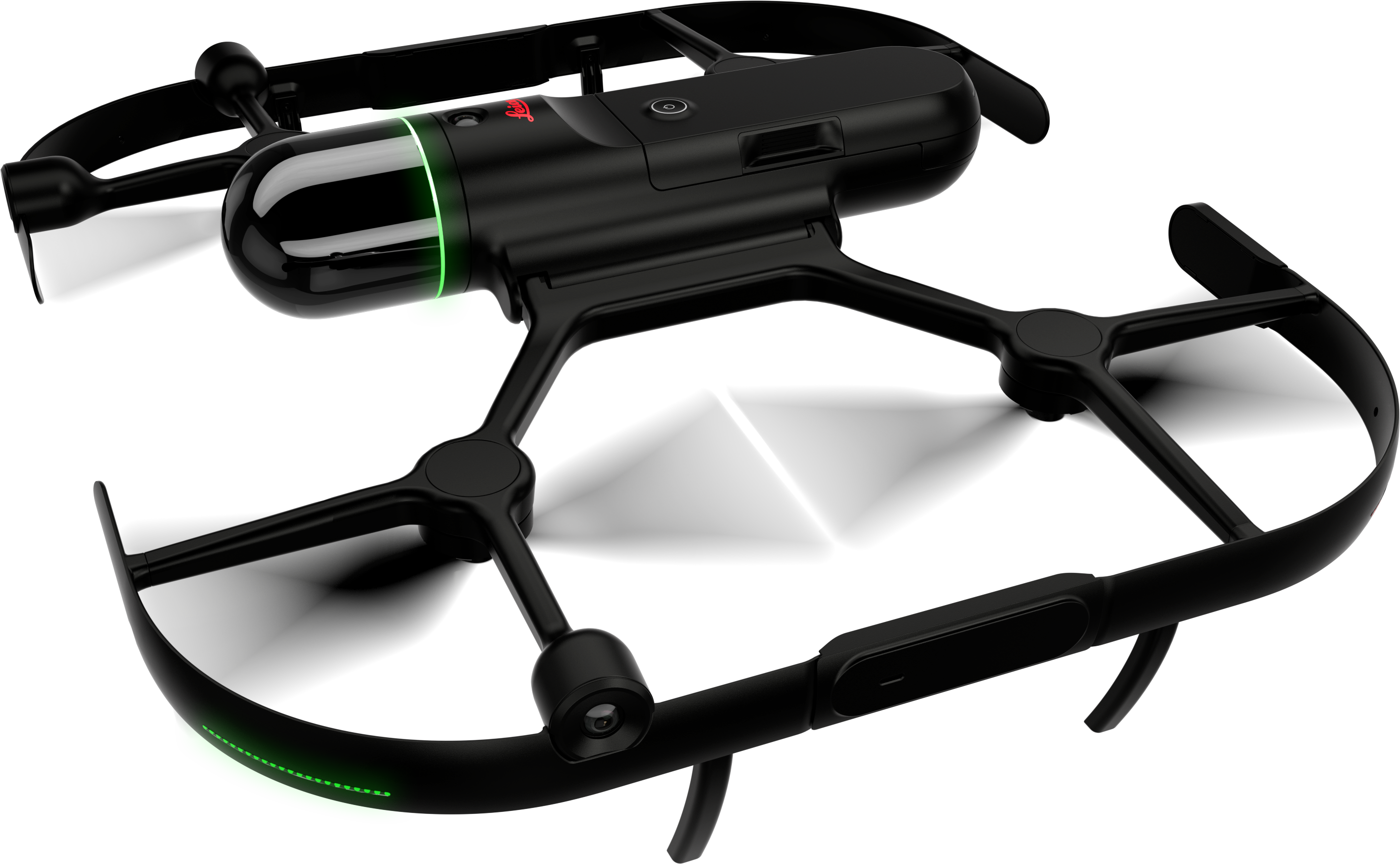
Leica BLK ARC
The BLK ARC is Leica’s first robotic carrier module. Have the BLK ARC scan areas, repeat missions, offline map areas remotely, and more. The BLK ARC goes where you go and in environments that might be hazardous - reduce the need for human intervention as the BLK ARC goes ahead of you.

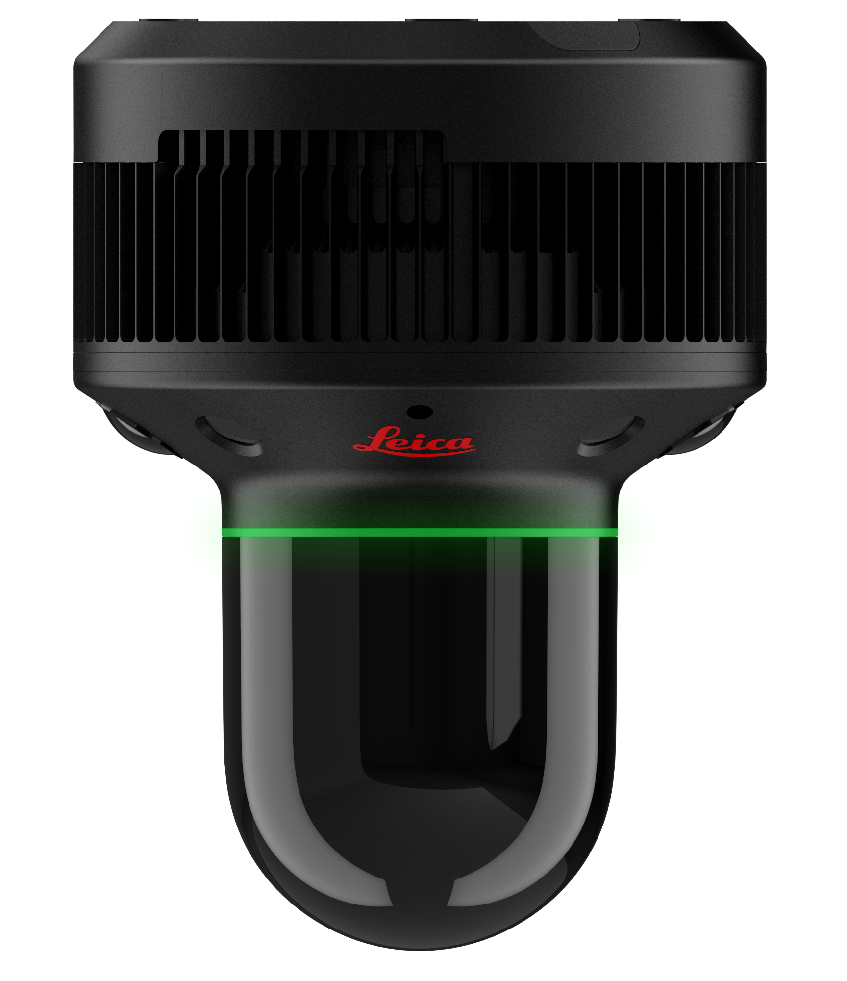
Leica BLK2FLY
With the BLK2FLY, take your scans to a whole new level. Get accurate measurements of buildings, facades, and areas once inaccessible. Take it anywhere, with full spherical avoidance and complete control of the laser scanning UAV through tablet UI.
Hexagon GeoCloud
Hexagon GeoCloud is Hexagon’s cloud-based storage, visualization, and collaboration platform for reality capture and geospatial data. Upload scans to Hexagon GeoCloud for simple cloud storage, including any E57 file or directly from compatible Leica BLK scanners. Hexagon GeoCloud also allows you to shop for nationwide high-resolution aerial imagery and large scale 3D models through the HxGN Content Program.
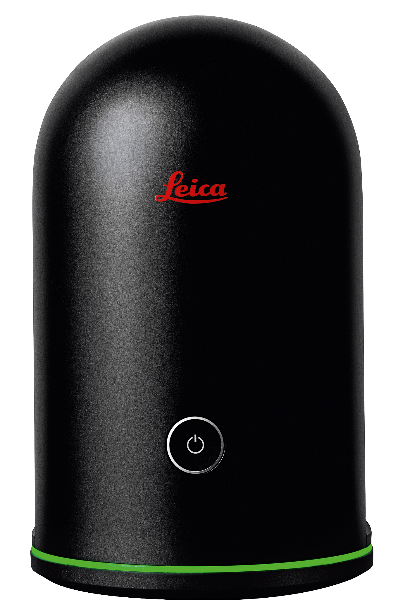
BLK360
Ensure accuracy of any project with the BLK360. This terrestrial scanner mounts to a tripod and, with a simple push of a button, scans the area you place it in. The BLK360 captures precise dimensions using a 360-degree laser distance meter, creating detailed 3D point clouds.
BLK2GO
Carry the BLK2GO in hand while exploring any area. Scan as you go – moving with the mobile scanner, Leica’s GrandSLAM technology of the BLK2GO tracks itself through any space you scan and walk through. Obtain accurate measurements, thorough point clouds, and a 3D base for all your projects.
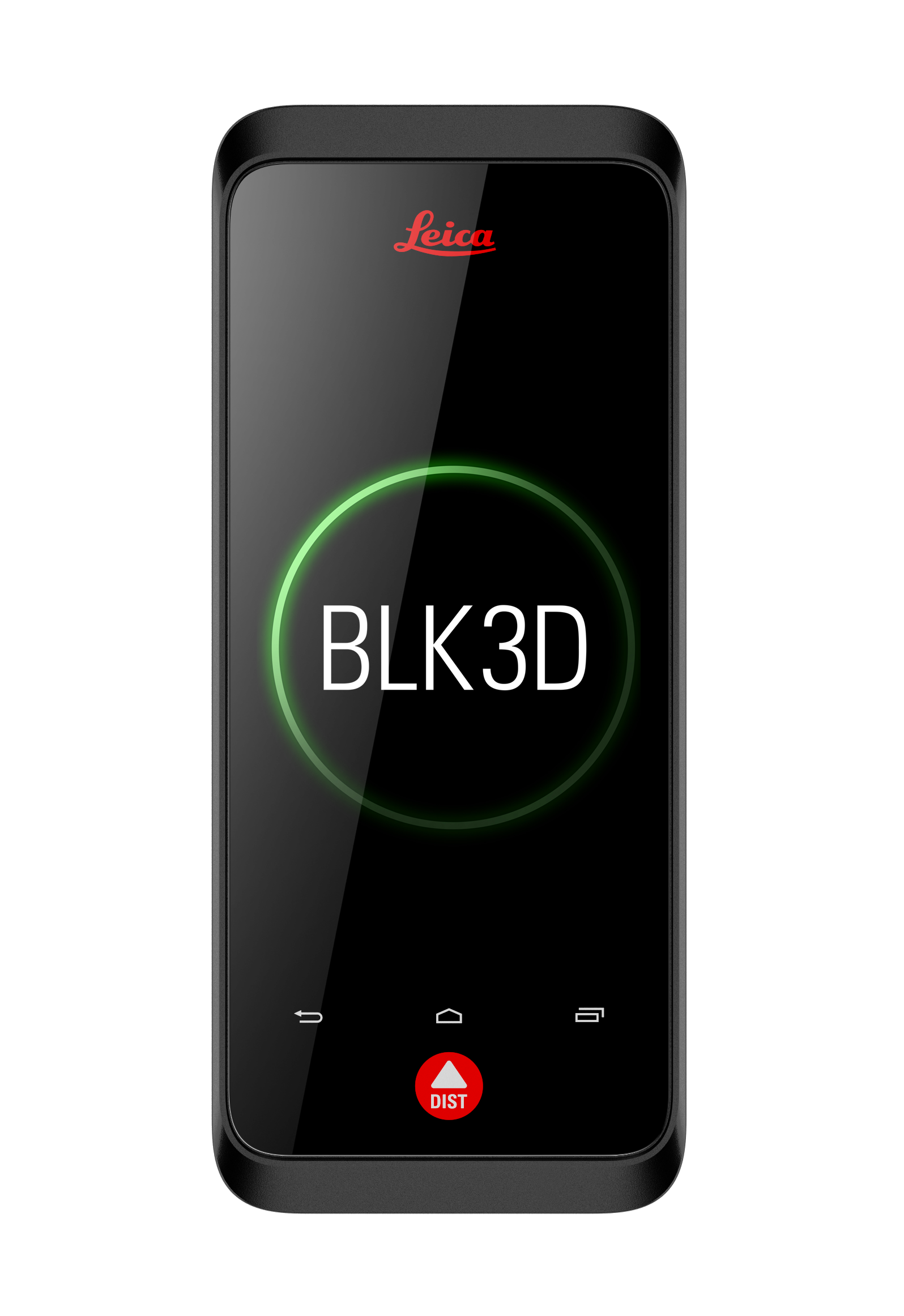
BLK3D
The Leica BLK3D is a measurement solution based on photos. Each photo captured is a complete measurement record which contains height, width, and depth measurements. Measurements can be created at any point, right away on-site using the handheld BLK3D Imager, or at any point in time thereafter using the BLK3D Desktop Software. Open configuration optionsImage
BLK247
The BLK247 from Leica Geosystems is a first-of-its-kind reality capture sensor for building security and operations. It is the latest product in the company's BLK product line, a collection of reality capture, scanning, and photogrammetry hardware and software.