
Measuring is all we do at Leica Geosystems: We don't make impact hammers, drills, dish washers, fuel injection systems, or anything but advanced measuring technology at any price point.
When you own a DISTO or a LINO, you join the ranks of the engineers and surveyors who rely on our hardware to complete their projects.
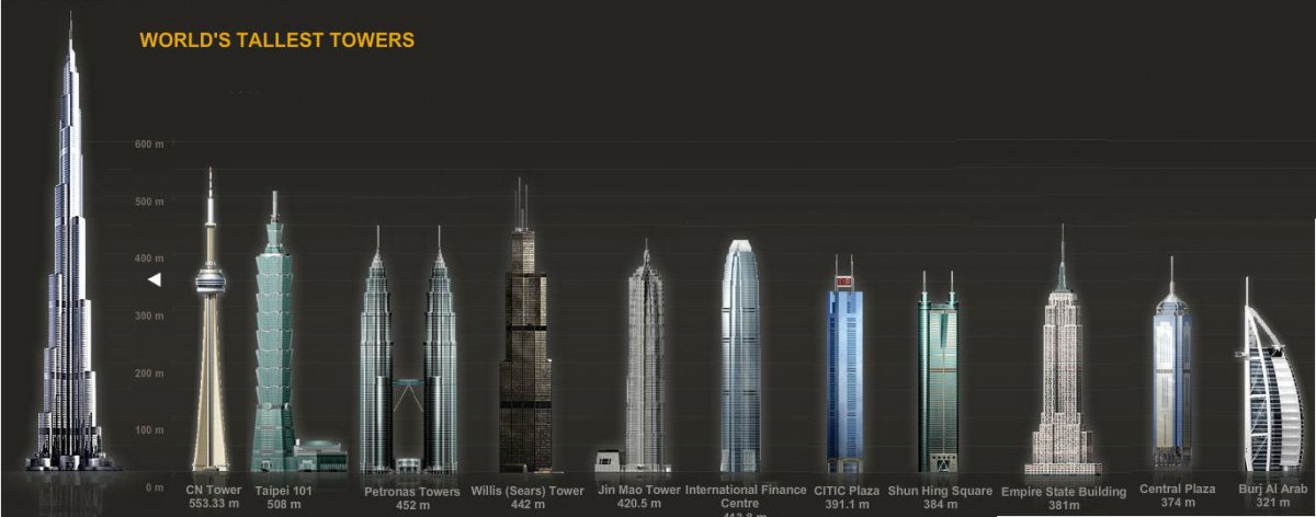
The Burj Khalifa is a great example.
At over 2,700 feet high and more than 160 stories, the Burj Khalifa isn’t only the tallest building in the world. It holds records as:
- Tallest free-standing structure in the world
- Highest number of stories in the world
- Highest occupied floor in the world
- Highest outdoor observation deck in the world
- Elevator with the longest travel distance in the world
- Tallest service elevator in the world.
This was originally published in our in-house magazine The Reporter (which was very likely named by an engineer) in 2007:
If you look carefully at the photo above, you'll see a surveyor with a white hard-hat, making sure the world’s tallest building goes up… straight up. You can’t build an extreme structure like the Burj Khalifa without the most accurate AND precise measuring tools. When you have more than 10,000 workers a day building a 2700 foot tall tower “close-enough” is not an option. The measurements have to be right.
Super high-rise buildings are subject to strong external tilt effects caused, among other things, by wind loads, thermal effects from exposure to sunlight, and unbalanced loads. In addition to being very tall, the Burj Khalifa is also quite slender, making it more sensitive to the tilt effects. It is normal in a structure of this size to have movement of the building at upper levels due to wind loads, crane loads, construction sequence and other factors. The building movements make it difficult to keep the building in alignment. Douglas Hayes, Chief Surveyor for the Burj Khalifa Tower, and Joel van Cranenbroeck, Business Development Director at Leica Geosystems, developed a completely new procedure to provide reliable coordinated points at the top of Burj Dubai using GPS observations combined with a network of precision inclination sensors.
At the beginning of construction, conventional surveying methods yielded high accuracy results.
“From ground to about Level 20 resection was possible from the external control marks, which are located about 100 to 150 m from the base of the tower. Observation redundancy was possible and very high quality results were achieved”, says Douglas Hayes.
Once above Level 20 conventional methods were not possible due to obstruction from the upper decks of the formwork system and poor visibility.
“The movement of the structure creates several problems for precise surveys. Theoretically, at any particular instant in time you need to know exactly how much the design center line of the building is offset from the actual vertical axis and at that same instant you need to know the precise coordinates of the instrument," said Hayes. "However, a ‘mean’ position for both elements taken over a short time period can provide a suitable solution."
A complex combination of GPS antenna/receivers, Total Stations, Continuously Operating GPS Reference Stations, and a network of Leica Nivel220 dual-axis precision inclinometers, accurately determines and analyzes displacement of the tower alignment from the vertical axis.
If you want to take a "deep dive" into how this problem as solved and learn more, please follow the attached link to “Core Wall Survey Control System for High Rise Buildings”, presented at the XXIII FIG Congress in Munich Germany.
Originally published by:
Leica Geosystems AG
Heinrich-Wild-Strasse
CH-9435 Heerbrugg
Switzerland
Phone +41 71 727 31 31


