Elias Logan is an architectural designer and researcher based in Boston, Massachusetts. He spent his childhood on the Great Plains of Kansas; hiking, camping, and exploring the broader region between the Rocky Mountains and Mississippi River, and he likes to think of that landscape, or almost any landscape, as being constructed of the same stuff as architecture: space, matter, light; energy in various forms. As much of that understanding may have been felt, he gained most of that perspective while pursuing Master of Architecture degrees from Kansas State University and Harvard University Graduate School of Design (GSD).
First Step: 3D Scanning in an Architectural Design Process
The project I'm currently working on grows out of a project I carried out at the GSD. I attempted to integrate3D scanning into the creative process of architectural design, primarily using it to inventory material irregularities. I cut, soaked, stacked, and scanned small sponge constructs to approximate the lumpy form of a straw bale building, rearranging and repeating this process until I was able to compile the scans into a complete digital model. The 3D scanner implied a kind of objective portrayal of physical properties in the process; almost as if it were conducting an archaeological survey of the architectural conditions.
This subsequent project, a European tour of historic sites supported by Harvard GSD's Julia Amory Appleton Travelling Fellowship, applies the same representational methods but replaces the referents (sponges) and their author (me). Rather than self-generated sponge-as-straw building fragments, I am scanning stone structures built by unknown “authors,” or architects, in a state of ruin.
BLK360 Joins the Architectural - Archaeological Mission
I am focusing upon structures ranging in era from the Neolithic to Medieval; architectures of which our knowledge is either entirely based upon archaeological evidence or limited to a few bits of written history. In all cases, like my sponge stacks, there are no construction documents or any record of the structures as ideas, so the importance of representation and interpretation is highlighted in making “post-construction documents,” to borrow a term from Andrew Atwood, a past instructor of mine.
I found out about the BLK360 from Kyle Barker, a mentor, friend, and colleague at MERGE Architects where I worked for a year after graduating from the GSD. He referred me to Leica Geosystems, for which I owe him a great deal! In reviewing Kyle's own point cloud files and testing it out for myself, I was very impressed by the extent of space and detail it could capture. Having used the BLK360 several times now, I have found it is a breeze to conduct scans; the clichéd ease of “just the touch of a button.”
Next Step: BLK360 as Archaeological Surveyor Capturing Ancient Stone Ruins
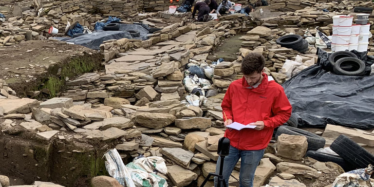
Returning to the rhetorical role of the 3D scanner-as-archaeological-surveyor, my itinerary began with two weeks at the excavation of The Ness of Brodgar in Orkney, a series of islands off the northern coast of Scotland. Digging, drawing, and scanning alongside the archaeologists unearthing this substantial complex of Neolithic structures was extremely helpful in building a functional framework for the research. I have adopted one of their workflows by using the 3D scans to generate and underlay traditional drawings.
Working in the trenches at the Ness also illustrated the intertwined nature of excavation and interpretation in archaeology, akin (or inverse) to the similarly overlapping processes of creation and interpretation in architecture. So, while much of the interpretation work for the sites I am visiting has been already done (by people with far greater expertise in these fields than I), I do aim to be making modest conjectures and drawing conclusions as I am drawing the spaces.
Much of this work is yet to come. Thus far, I have concentrated on carrying out scans and making rough, on-site sketches of structures ranging from Neolithic dolmens to Bronze Age brochs; Roman villas to Medieval fortresses in the British Isles.
How Did the BLK360 Hold Up?
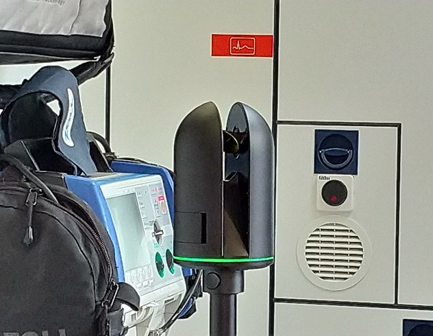
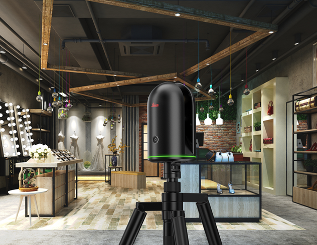
My impression of the BLK360 is that, physically, it is a sleek - albeit slightly spooky - looking piece of technology. It was described by the members of the archaeological excavation team at the Ness of Brodgar as “something straight out of War of the Worlds,” I assume due to its black finish, strobing glow, and rotating head. Aside from its outward appearance, however, I am astounded by its capability.
On the front-end, it has far exceeded my expectations and alleviated any fears of a finicky setup. The back-end is, from what I have had time for thus far, equally easy. Importing and compiling scans is a simple few steps in Cyclone Register 360. I've improved significantly at trimming and cleaning the scans and the rest, namely translating from point-cloud to mesh, is a bit of a work-in-progress. I've gotten scans compiled and cleaned but will work through the translation into mesh using associated software platforms. Leica's expert team has been an excellent resource for support and guidance in this respect.
Aside from the general ease of use, I was really surprised by the thermal detection feature of the BLK360 wherein the device generates colored heat maps correlated to the image it captures. I don't think it will play a part in this research, but I was impressed by the device's ability to represent an intensive property in addition to the expected extensive ones.
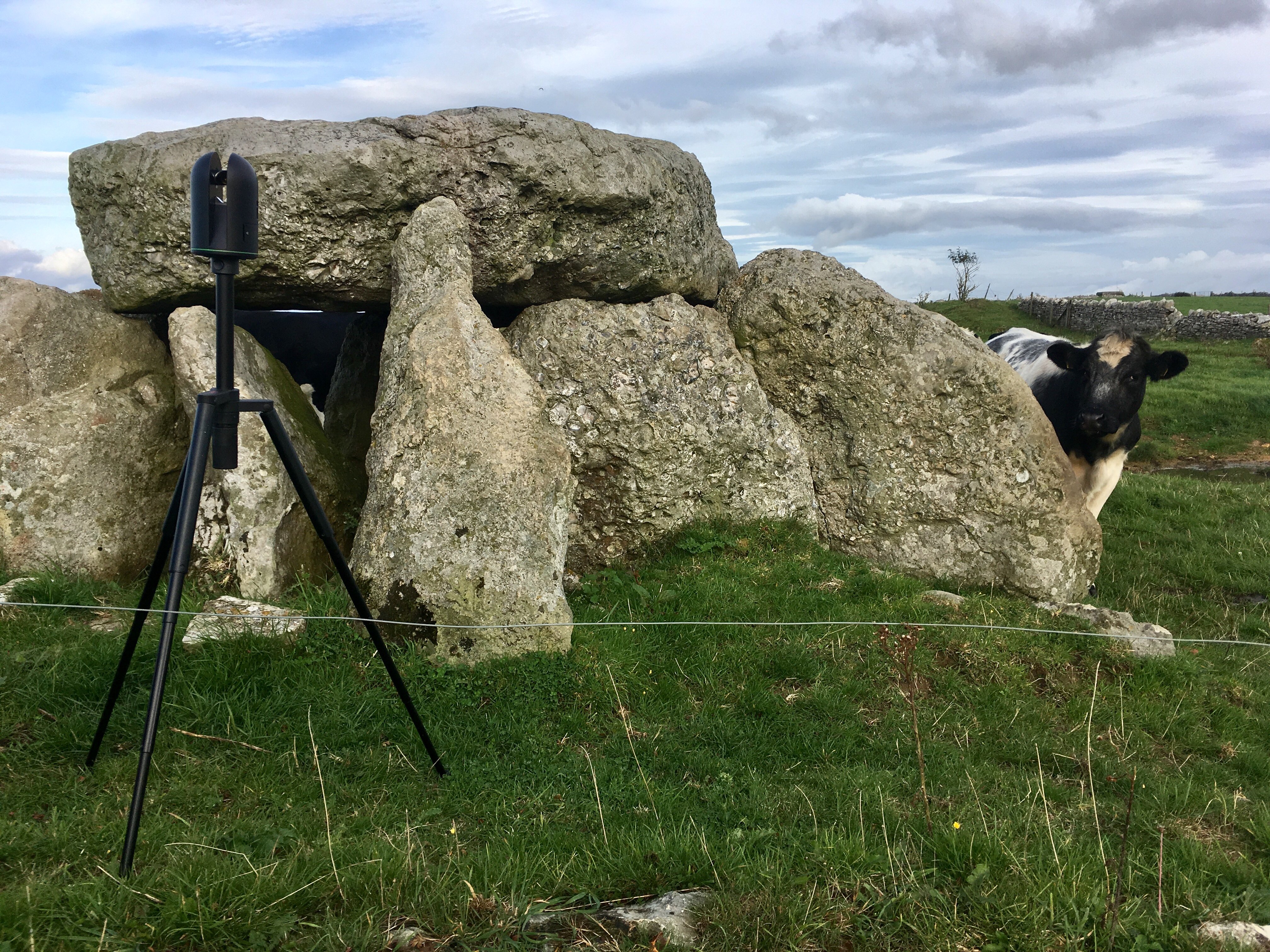 More comically—and I hesitate to share this given it implies I placed the device in harm's way—but I also discovered that the BLK360, when mounted atop its tripod, can serve as a threatening facsimile to a cattle prod. Holding it authoritatively was sufficient to deter a herd of cattle who engaged me in a standoff with the aim of scratching themselves on a dolmen I was scanning.
Now it is on to the European mainland! France! I will have more to share as I progress through my tour, gather more data—and hopefully don’t have to stave off another bunch of itchy cows! Stay tuned.
Disclaimer: This article features the Leica BLK360 G1. Explore the expanded capabilities of the latest BLK360 model here.

