
Product Highlights
Utility Detection Radar (GPR)
Available in two packages:
Starter Package
The DSX Starter package is for construction professionals looking to locate utilities on job sites the easy way.
The on-board DXplore software helps new users learn how to prospect with GPR and read the results.
Surveyor Package
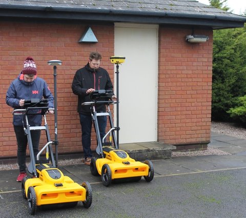
The DSX Surveyor package includes the DXplore Survey software add-on, which enables the operator to combine GPR data with GNSS or TPS coordinates.
An integrated GPS antenna is required.
Choose the Survey Package below to reveal the option to add the FLX100 DSX Kit, which comes with all the mounts and cables needed to integrate the FLX100 with the DSX and hit the ground running.
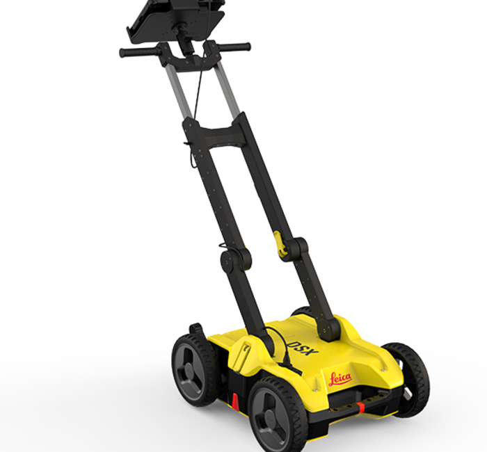
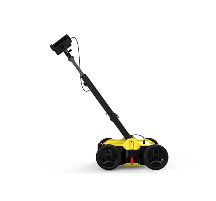
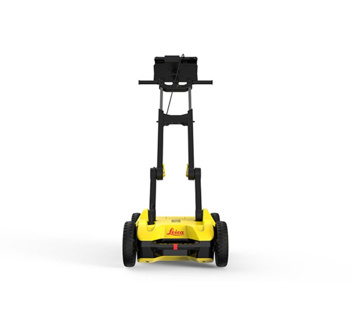
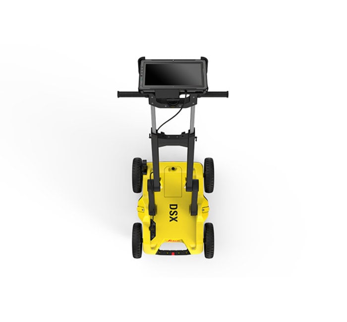
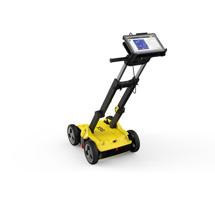
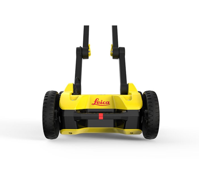
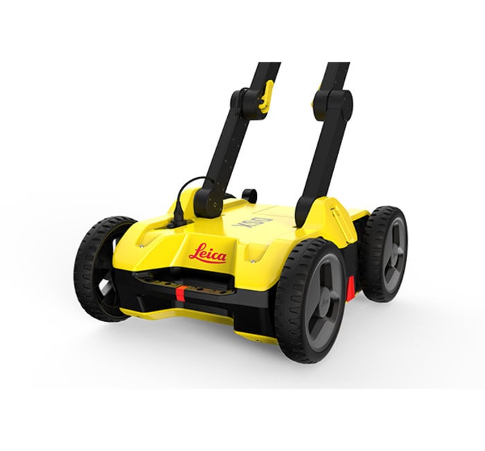
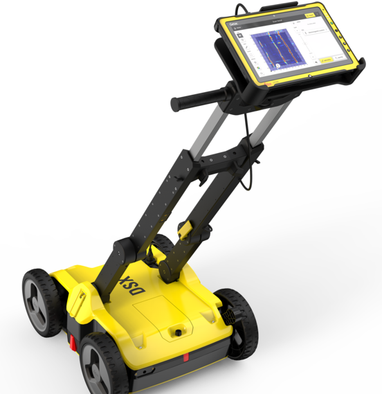
Leica DSX
Options:
Questions? Contact Sales
Related Items:
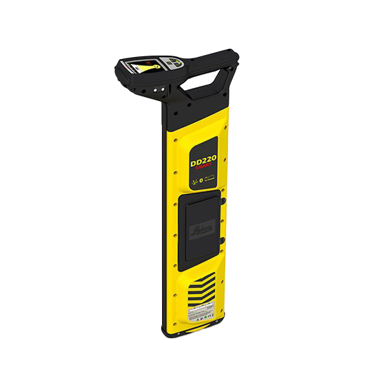
With automated pinpointing technology and a clear visible display, the DD220 discovers buried utilities with confidence, even in densely packed areas
Learn More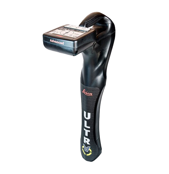
Increased Transmitter Power Output System Choices Choose between 5W and 12W transmitter power outputs for superior tracing performance. Unlock the
Learn More
Unlock the power Choose between 5W and 12W transmitter power outputs for superior tracing performance. Configure the Leica ULTRA for site specific
Learn More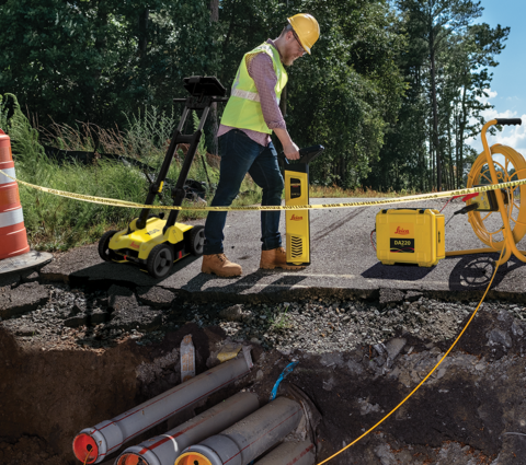


DSX Demo
For underground utility avoidance, repair and maintenance tasks, the Leica DSX utility detection solution provides an easy to use GPR solution featuring DXplore, an intuitive onboard software interface that guides operators through the process of visualizing utilities and generating a 3D utility map.
This out-of-the-box ease of use makes the DSX an ideal choice for heavy equipment operators looking to stake out underground utilities before digging starts, but that doesn't mean that the DSX is limited to utility avoidance.
The Survey Package (and optional FLX100 Smart Antenna) upgrades DXplore to combine GPR data with GPS or TPS coordinates to create geo-located underground utility maps that are synched with a coordinate system for use by construction management platforms or CAD.
Reliable Detection Results
- Detect underground utilities in high resolution to mark out reliable avoidance zones.
- Verify specific utility locations obtained from existing maps, DigSafe, or from a first pass using a cable locator.
- Import point-of-interest aspects as well as utility records to help you make better decisions.
Ease of Use
- Ensure smooth and accurate underground utility detection without expert knowledge.
- Complete utility detection and mapping in just a few steps through intuitive user interface.
- Scan anywhere and at any time, even in narrow areas and under severe conditions.
Instant 2D/3D Utility Map
- Save time on site by mapping underground utilities in just minutes.
- Export utilities in CAD or BIM-ready formats for future use on site or in the office.
- Create customizable, professional deliverables.
Integrated Solution
- Offers a complete workflow from data acquisition to excavation.
- Add DXplore Survey to generate utility maps compatible with coordinate reference systems.
Hardware System
| DSX Utility Detection Radar | CT1000 Tablet | ||
|---|---|---|---|
| Central Frequency | 600 MHz | Display | 11.6" |
| Detection Depth | Up to 2m / 6.56ft | Processor | Intel® Core™ i3-7100U |
| Acquisition Speed | Up to 7km/h or 4.3mph | Memory | RAM 4GB, 128GB SSD |
| Scan Interval | 0.50m / 18in | Operating System | Windows 10 Professional |
| Positioning | 2 encoders on wheels; GNSS antenna integration (Surveyor kit only) | Positioning | GPS (GlobalSat) |
| Environmental | IP65 | Environmental | Sunlight readable display (LCD + Touchscreen + Hard Tip stylus) IP65 / MIL-STD-810G |
| Weight | (without battery and tablet) | Weight | 1.39Kg |
| Battery | Li-ion 14.8V / 5800mAh up to 8 hours operating time |
Battery | Li-Ion 11.4V / 2160mAh |
| Operating Temperature | –10°C to +40°C / 14°F to 104°F | Communications | WiFi, Bluetooth v4.2, 4G LTE (Model 880920) RJ45 – connection to DSX |
| Warranty | 2 years (extension CCPs available) | Warranty | 2 years Global Warranty (battery – 1 yr) |
Software
| DXplore | Starter | Surveyor | |
|---|---|---|---|
| Setup | Offline tutorials Status check (connection, battery level, etc.) Project and draft management |
✔ ✔ ✔ |
✔ ✔ ✔ |
| Acquisition | Grid Scan mode Radar sensor control (scan and pause, etc.) |
✔ ✔ |
✔ ✔ |
| Positioning | Real-time position display from wheel encoders Google Maps and current location support Reference point entering support Local coordinate system support GNSS antenna support (Leica GS14, 16, 18 T; iCON gps 70, 70 T; GG03, GG04, GG04 plus) |
✔ ✔ ✔ |
✔ ✔ ✔ ✔ ✔ |
| Process & Analysis | On-site radar tomography generation POI support Utility marking Automatic utility verification |
✔ ✔ ✔ ✔ |
✔ ✔ ✔ ✔ |
| View | 2D view 3D view |
✔ |
✔ ✔ |
| Import | Utility records in DXF and DWG formats Multiple layer support |
✔ |
✔ ✔ |
| Export | Customised report in PDF format Detected utilities in DXF and DWG formats Tomography in JPG format |
✔ ✔ ✔ |
✔ ✔ ✔ |
DSX Starter Package (Subscription) - Article number: 6015140
DSX Starter Package - Article number: 6015139
DSX Surveyor Kit (Subscription) - Article number: 6015142
DSX Surveyor Package - Article number: 6015141