 RTC
RTC
 BLK360
 BLK2GO
 BLK ARC
 BLK2FLY
 BLK3D
BLK3D
 Accessories
Starting at
CA$61,240

Fewer handoffs. Fewer gaps.
Faster deliverables.
Experience a connected workflow from field capture to final production.
Traditional scanning workflows are linear: capture, return to the office, import, register, check, share, then start production. Leica RTC streamlines that process by connecting field, cloud, and office earlier in the work.

Arrive on site and start scanning. RTC's VIS technology automatically registers each setup as you go, GNSS georeferences your data automatically, and the instrument self-calibrates between scans. The new RTCs are faster than ever, reducing time to complete jobs and increasing long-term efficiency while reducing overhead.

But speed is no longer limited to the field. Activate Livelink in Leica Cyclone FIELD 360 to initiate a real-time collaborative project, connecting field teams and office experts through Hexagon GeoCloud, supporting remote project coordination, multi-crew visibility, and faster decisions while work is still unfolding. Stream preview data while verifying setups, bundles, links, GeoTags, targets, control points in FIELD 360 before even leaving the job site. This helps teams reduce missed areas, avoid return visits, and enables better data-based decision making.

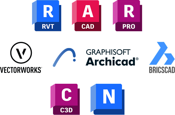
With VIS enabled and verification checks done with Livelink, your data is already registered and validated. Now, you can move captured data into Leica Geosystems software workflows such as Leica Cyclone REGISTER 360 PLUS for fine-tuning registration and reporting, Leica Cyclone 3DR for advanced modelling and analysis, and Hexagon GeoCloud for cloud-based visibility, meshing, classification, and further collaboration. Data can also support external workflows in widely used industry platforms such as Autodesk Revit for BIM modelling and coordination.
Leica RTC is designed to support the full reality capture data journey: from field capture and registration to cloud collaboration, CAD, BIM, inspection, modelling, and documentation workflows.

Cyclone FIELD 360
Use for field capture, Livelink, onsite registration, project setup, GeoTags, and collaborative project initiation.

Hexagon GeoCloud
Enables cloud-based project visibility, sharing, and collaboration between field and office.

Cyclone REGISTER 360 PLUS
Finalise point cloud registration, alignment, QA, and preparation for downstream deliverables.
Cyclone 3DR
Use for advanced downstream 3D deliverables, inspection, analysis, modelling, and reporting workflows.
RTC data supports workflows in all common design and construction platforms, including Autodesk Revit and other CAD/BIM environments used for Scan to BIM, Scan vs BIM, as-built modelling, construction verification, and project coordination.
Ready to move faster
![]()
with scalable RTC300, RTC500, and RTC700 performance levels.
![]()
by checking coverage and registration before leaving site.
![]()
through cloud-enabled field-and-office workflows.
![]()
into Leica Geosystems software and common CAD/BIM platforms.
Talk to an expert to find the right Leica RTC for your work.