Leica DS4000
Lieferumfang
DS4000 Starter Kit
- DS4000 Utility Detection System
- 1 Battery
- 1 Charger
- CT1500 Tablet
- CT1500 Tablet Holder
- 2-year Customer Support for DS4000
Zubehör
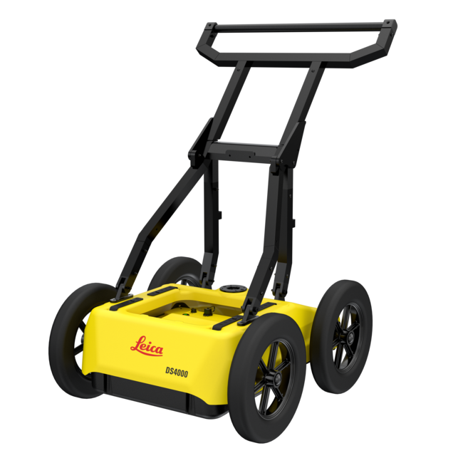
Introducing the Leica DS4000
The Leica DS4000 is the ultimate dual-antenna Ground Penetrating Radar (GPR) system designed to redefine efficiency and precision in subsurface scanning. Powered by advanced EsT Technology from IDS, the DS4000 boasts an unmatched frequency range of 80–1500 MHz through its 200 MHz and 900 MHz antennas, delivering 30% greater depth penetration for deeper insights and enhanced utility detection.
MAIN FEATURES AND BENEFITS
- See more, Reach deeper: EsT patented technology extends your detection range
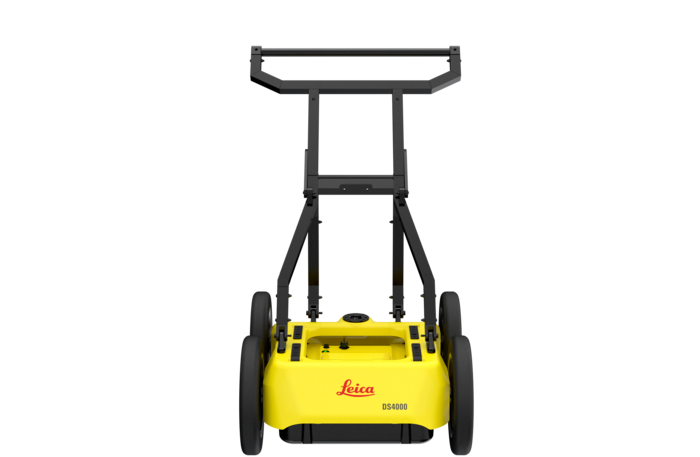
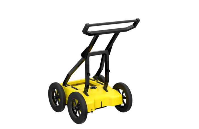
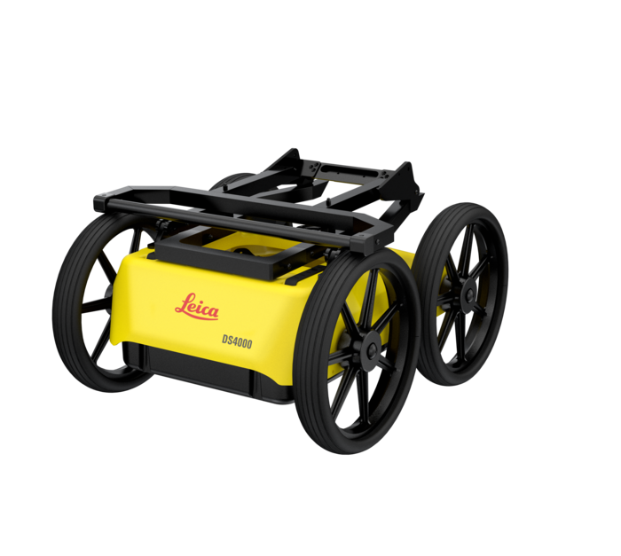
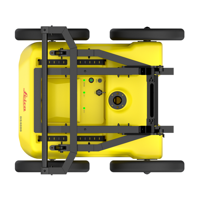
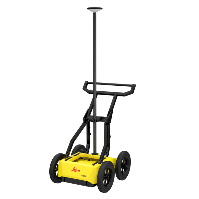
- Lightweight (20 kg | 44 lb), modular and compact design for effortless data collection
- “Quick Scan Mode” streamlines field operations, saving time and reducing costs
- uMap, on-field software, allows real time on-site marking and digitalization of detected anomalies
- Easy switch polarization of the antenna (HH and VV) to ensure an optimal performance
- Streamline your workflow by creating and finalizing reports directly on-site
EsT - Equalized scrambled Technology:
DS4000, powered by patented EsT technology, delivers an unparalleled detecting performance providing the best data quality and boosting penetration depth by 40% to 60% compared to traditional devices.
With crystal-clear results across an extended depth range and the highest resolution available through the use of a single device, Leica DS4000 ensures an accurate detection of underground utilities, maximizing pipe network detection for peace of mind.

Technical Specifications | |
| N° of channels | 2 |
| Central Frequencies | Dual 200 MHz and 900 MHz |
| Inspection Range | 80 MHz – 1500 MHz |
| Technology | EsT – Equalized scrambled Technology (Patented Technology) |
| Dimension (folded for transport) | 750x625x420 mm | 30x25x17 in |
| Dimension (in use) | 750x625x1000 mm | 30x25x40 in |
| Weight | 20kg | 44 lbs |
| Operating Temperature | -20 °C to +50 °C | -4 °F to +122 °F IEC 60068 2-1/2 |
| Vibration | Compliant with IEC 60068-2-64:2012 |
| Shock | Compliant with IEC 60068-2-31:2011 |
| Certification | CE, UKCA, FCC, IC |
| Polarization | Configuration: HH and VV |
| Positioning | Encoder, external GPS/GNSS and Total Station |
| Power Consumption | Acquisition: 16W | Stand-by: 12W |
| Operating Time | 4 h with 1 battery 8 h with 2 battery Operating time can be extended by hot swap capability |
| Wheels | 4XØ310 mm (default) | 4XØ12 in (default) 4xØ380 mm (optional) | 4xØ15 in (optional) |
| Environmental | IP65 |
| uMap – Data collection software | Automatic calibration for an easy and quick start-up Visualization and storage of radar data Real-time visualization of radar tomography (time slices) Import of cartography of the surveyed area from different sources for visualising geo-referenced underground asset position in real time. Connection with NMEA positioning device Multilanguage support Metric and Imperial units Export, store, share and access data on major Cloud service providers for a streamlined workflow in utility detection On site target marking Automatic report generation |
| IQMaps – Processing Software | Advanced 3D processing software with a direct export link to AutoCAD Export, store, share and access data on major Cloud service providers for a streamlined workflow in utility detection |
| Recommended Tablet | CT1500 |