Versatile GIS Asset Mapping
GPS

Zeno FLX100 plus
Collect GIS data with our Zeno Mobile app, or send data to any collector app.
FLX100 plus GIS Data Collector
Achieve 2cm accuracy with a palm-sized, easy-to-operate GIS data collector that is compatible with iOS, Android, or Windows devices.
The FLX100 plus comes with a free trial of Zeno Mobile One, our field app that is compatible with ArcGIS Online or ArcGIS Online Enterprise.
Prefer a different collector app? No problem, just run Zeno Connect to send data to the compatible app of your choice.

- Bring Your Own Device
The FLX100 plus is compatible with IOS, Android, and Windows tablets and smartphones. - Flexible Setups
Use as a handheld or with fit a pole to adapt to your workflow. - Compact and Lightweight
A small body and ergonomic design makes for easy mobility. - Job Site Tough
IP67 dust and waterproof rating. - 2cm Accuracy
Record data accurate to 2cm with a simple one button operation.
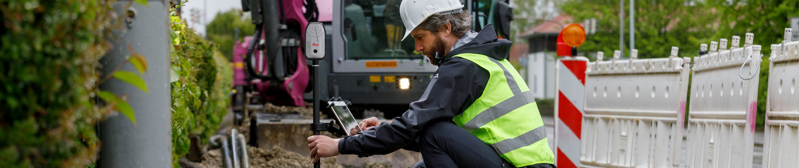
Gain Access to Hard-to-Reach Points with Unlimited Tilt
With tilt compensation there's no need to physically position the pole at awkward angles, you can capture data from tight spaces, uneven terrain, or behind obstacles more smoothly. Tilt compensation does not mean sacrificed accuracy. Accuracy remains exceptional with less than 1.8 cm horizontal uncertainty at 30° of tilt, making the FLX100 ideal for both RTK and standard GNSS workflows.

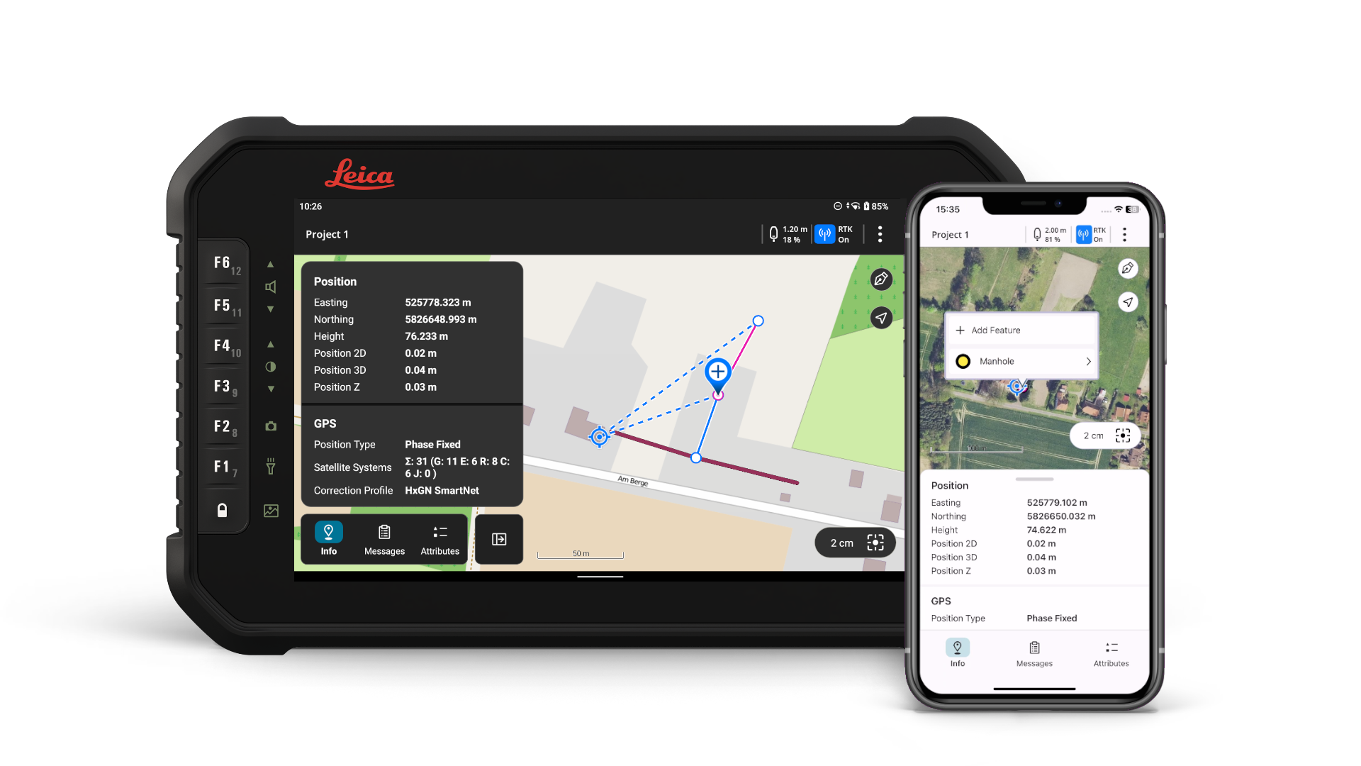
Real Time Data Collection From the Field
Pair the Leica Zeno FLX100 Plus with Leica Zeno Mobile One for simple, high-accuracy GIS data capture on your phone or tablet. With an intuitive interface, quick project setup, and support for GNSS field workflows, Zeno Mobile One helps crews collect, manage, and share geospatial data more efficiently.
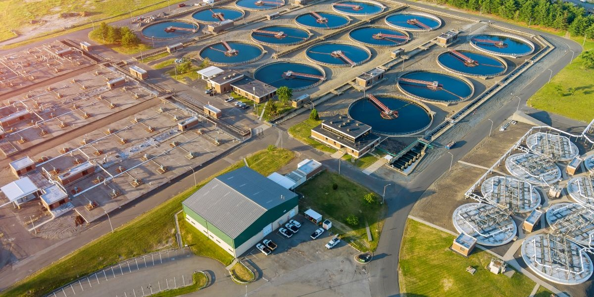
Poor GIS data often starts with broken field-to-GIS workflows
Discover why inconsistent data capture, delayed updates and undocumented field knowledge create gaps in water utility asset records – and how more consistent, traceable field workflows can improve confidence in the data used for operations, maintenance and compliance.

Understanding an Expert GIS Workflow
What does an expert GIS workflow look like? The city of Saratoga Springs provides an impressive model. Learn how to quickly and easily collect accurate asset data to achieve a real-time, high-value city map.