Understanding GPR
...put simply, a piece of equipment that sends pulses of energy into the ground and then ‘listens’ for the reflected signals coming back to the unit, then displaying this returned information to the user.
Urban development with underground truth
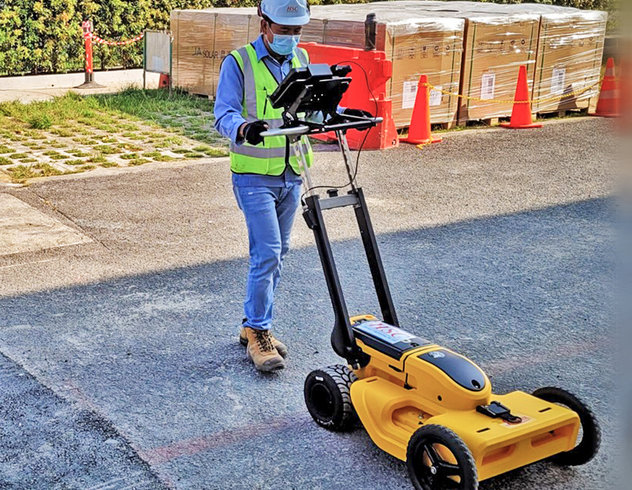
Expanding and maintaining Singapore’s vast and complex underground infrastructure safely and with minimal disruption is a large undertaking...
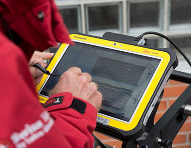
A day in the life of a Utility Surveyor
Take a look into the day of a Utility Surveyor. Follow their journey from the morning routine to executing the proper procedures at the job site. "No journey to work is ever the same two days running"...
|
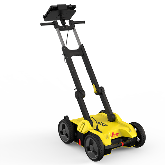
DSX |
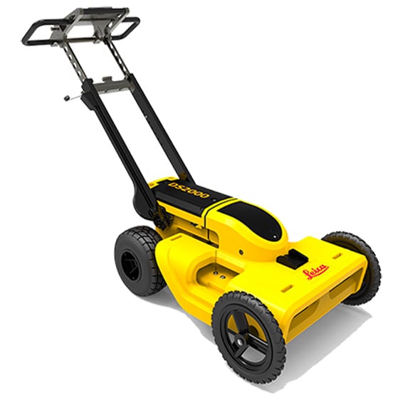
DS2000 |
|
 |
 |
|
| PRICE | ||
Antenna FrequencyThe frequency range of a GPR determines how deep a unit can detect objects underground and the resolution of the radar gram. In general, lower frequencies penetrate farther to locate targets that are more deeply buried, while higher frequencies provide higher resolution for objects that are closer to the surface. It is important to note that the ground gets a vote: As density increases (think clay or other wet soils) the depth and resolution GPR can achieve decreases. This is why we recommend a combined workflow that also includes EM utility detection using a cable locator. |
Single / 650MHz | Dual / 250MHz and 700MHz |
Onboard Tutorial VideosThe DSX features on-board training videos that guide new users through setup and basic data collection. |
✓ | |
Dual EncodersEncoders are sensors that GPRs use measure wheel rotation. As the GPR is pushed a signal is sent from the encoders to the control unit to let the software know that data collection has begun and to provide location data as targets are discovered. Dual encoders ensure accuracy and provide a backup should one of them fail. The encoders on the DSX and DS2000 are mounted internally on both rear wheels to protect them from dirt or damage. |
✓ | ✓ |
AcquisitionThe DSX must be pushed forward while collecting data. The DS2000 can also acquire data while being pulled backward. |
Forward only | Forward and backwards |
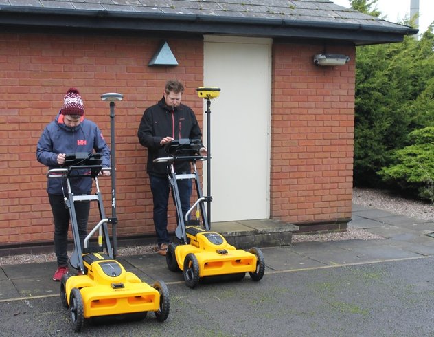
GPS/TPS IntegrationGeo-located underground utility maps to a coordinate system by attaching a GPS/GNSS antenna with a pole and mounting hardware. These are sold separately or can be purchased with the GPR unit in a package. |
✓ | ✓ |
Grid Scan with optional GPSThe DXplore software that comes with the DSX uses a grid-based workflow to a create an automated tomography (a 3D image of underground targets). This enables any operator to map out a grid, walk it, and create a deliverable that identifies the nature and depth of buried utilities. The best practice is to complete a grid scan with each line scan offset by 18 inches. With the addition of a survey grade GPS like the FLX100, the DSX utilizes GPS to help the operator locate the best starting point for a grid scan and then to ensure that the tracking lines are spaced properly. |
✓ | |
Quick Scan Tomography ViewSometimes you just need to hit a spot right in front of the bucket to see if there's anything right there, right now. In Quick Scan mode, the DXplore software onboard the DSX switches from a grid-based workflow and opens up a traditional radargram view that is useful for these kinds of spot checks. |
✓ | |
Intuitive SoftwareBoth the DSX and the DS2000 feature a user interface that has been designed to be intuitive for the intended users. Novice operators will find that the DSX software helps them make practical use of the technology while more experienced operators will appreciate the DS2000’s user-friendly UI. |
✓ | ✓ |
Auto power offIf the GPR isn’t moved within 15 minutes, the unit will switch off to save battery life. |
✓ | ✓ |
