Points forts du produit
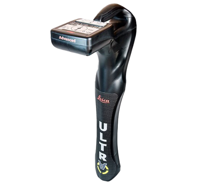
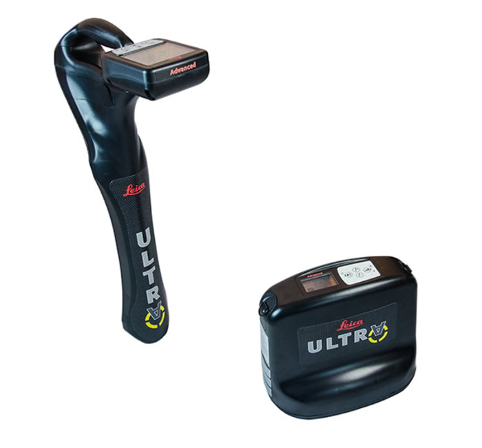
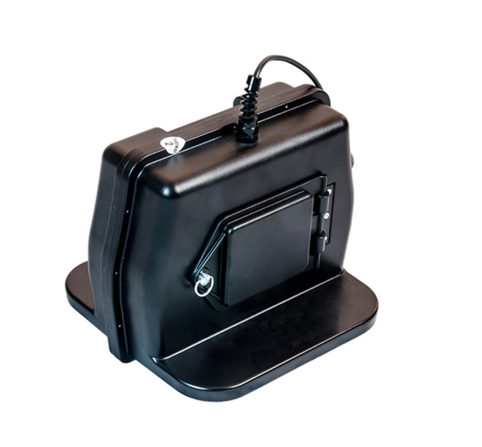
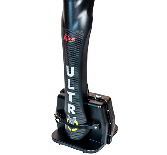
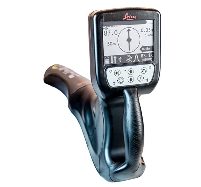
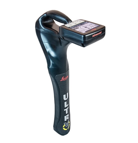
The Leica ULTRA is our most advanced precision utility tracing system.
Intelligent signal processing integrated with unique flexible operating modes saves time and provides increased confidence in your results.
Selectable antennae and customized frequencies optimize your instrument for site specific applications. The AIM system monitors signal interference levels and recommends which mode to use for the best results.
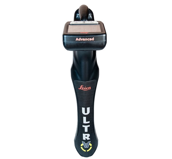
Leica ULTRA Advanced Locator
Options:
Questions? Contactez-nous
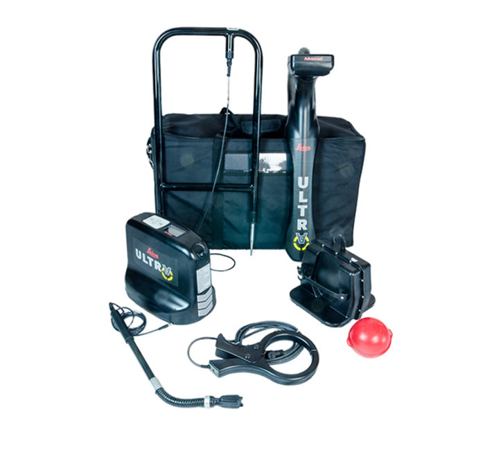
Contenu du carton :
ULTRA Advanced Locator
- ULTRA Advanced Locator
Accessoires:
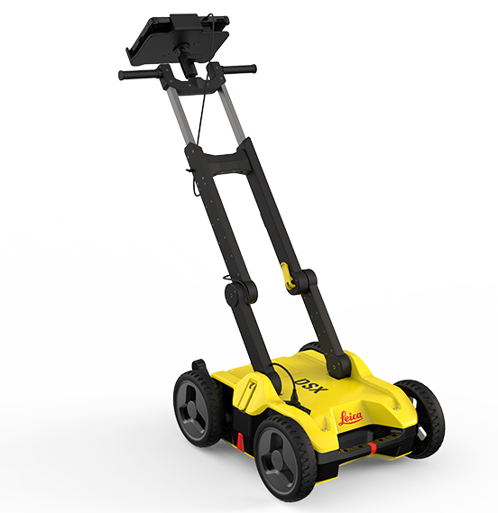
DSX Demo For underground utility avoidance, repair and maintenance tasks, the Leica DSX utility detection solution provides an easy to use GPR
En savoir plusUnlock the power
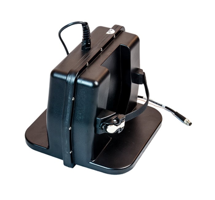
Choose between 5W and 12W transmitter power outputs for superior tracing performance.
Configure the Leica ULTRA for site specific applications. Custom build your receiver and transmitter.
Choose from over 100 pre selected frequencies, or customize your own frequency for highly specialized applications. Automatically capture the instruments location data to ensure adherence to best practice. The data logging feature allows the user to record external GPS co-ordinates and download with the datafile as a KML or CSV format. Upload into GIS systems or Google Maps to confirm where, when and how the work was performed.
Ambient Interference Measurement (AIM)
When working in congested environments, external interferences can affect the effectiveness of utility tracing. To guard against interference, the Leica ULTRA incorporates advanced Ambient Interference Measurement (AIM), which analyses the surrounding area for noise and recommends the best frequencies for accurate utility tracing.
Offset Measuring
There will always be an occasion when the utility runs close too, or underneath an obstruction. With Offset Measuring, the Leica ULTRA can locate the target line if not directly accessible from above. The function uses the available data to estimate the horizontal and vertical (depth) distance.
Transmitter to Receiver Link
Advanced communication link between the Leica ULTRA receiver and transmitter, enables you to control the transmitter directly from the receiver. Work smarter and at greater distances to help achieve best practice whilst reducing time spent walking to the transmitter.
Locators
|
Technical Data |
Standard | Advanced |
|---|---|
|
Dimensions |
691 x 325 x 122 mm |
|
Weight (including batteries) |
2.2 kg (4.8 lb) |
PERFORMANCE |
|
|
Frequency range |
50 Hz - 200 kHz |
|
Sensitivity |
33 kHz (1 μA at 1 m) |
|
Dynamic range |
117 dB |
|
Depth, max |
6 m (20 ft) |
|
Locate accuracy |
±5% depth |
|
Dynamic overload protection |
30 dB (automatic) |
|
Depth accuracy |
In line - ±5% to 3 m (±5% to 10 ft) |
FEATURES |
|
|
Enabled frequencies |
512 Hz, 3.14 kHz, 8.192 kHz, |
|
Custom frequencies |
Up to 100 custom frequencies from 256 Hz - 83 kHz |
|
DE direction enabled |
Any frequency from 256 Hz - 10 kHz |
|
Fault-finding DE based |
263 Hz |
|
Cathodic protection frequencies |
100 Hz, 120 Hz |
|
Power frequencies |
50 Hz, 60 HZ, 100 Hz, 120 Hz, |
|
Language support |
17 user selectable |
|
Selectable auto shutdown |
5, 10, 20 or 30 minutes |
|
PC based configuration |
Software updates and configuration can be set by user |
|
High contrast graphical LCD |
✔ | ✔ |
|
Line direction compass with proportional L/R arrow guidance |
✔ | ✔ |
|
Offset depth |
| ✔ |
|
AIM |
| ✔ |
|
Receiver / transmitter communications |
| ✔ |
|
Bluetooth® connectivity |
| ✔ |
ENVIRONMENTAL |
|
|
Operating temperature |
-20 °C - 50 °C (-4 °F - 122 °F) |
|
Storage temperature |
-32 °C - 70 °C (-25 °F - 158 °F) |
|
Environmental protection |
IP65 |
|
BATTERY |
|
|
Batteries |
2 D-cell (LR20) |
|
Battery life (max) |
30 hrs continuous |
Transmitters
|
Technical Data |
5 Watt | 12 Watt | Advanced |
|---|---|
|
Dimensions |
254 x 305 x 91 mm |
|
Weight (including batteries) |
3.4 kg (7.7 lb) |
PERFORMANCE |
|
|
Frequency range |
256 Hz - 200 kHz |
|
Output power |
5 Watt | 12 Watt | 12 Watt |
|
Current, max |
500 mA |
|
Voltage, max |
65V rms |
FEATURES |
|
|
Enabled frequencies |
512 Hz, 3.14 kHz, 8.192 kHz, |
|
Custom frequencies |
Up to 100 custom frequencies from 256 Hz - 83 kHz |
|
Language support |
17 user selectable |
|
Induction |
16 induction frequencies |
|
PC based configuration |
Software updates and configuration can be set by user |
|
Fault-finding DE based |
263 Hz |
|
Multimeter functions |
Watts, currents, ohms and volts |
|
High contrast graphical LCD |
✔ | ✔ | ✔ |
|
External 12V power connection |
| | ✔ |
|
Dual output |
| | ✔ |
|
Receiver / transmitter communications |
| | ✔ |
ENVIRONMENTAL |
|
|
Operating temperature |
-20 °C to 50 °C (-4 °F to 122 °F) |
|
Storage temperature |
-32 °C to 70 °C (-25 °F to 158 °F) |
|
Environmental protection |
IP65 |
BATTERY |
|
|
Batteries |
10 D-Cell (LR20) |
|
Battery life (max) |
100 hrs with alkaline |
Offset depth
Measures horizontal and vertical distance to the line
Ambient Interference Measurement (AIM)
Measures interference and recommends best frequency
Receiver / Transmitter communications
Remotely control transmitter frequency, power level and more
Bluetooth®
Wireless connectivity to GIS field PC, GNSS receiver
Dual output
Remotely select active output (must have optional dual output leads)
Induction frequencies
8.01 kHz, 8.192 kHz, 8.44 kHz, 9.82 kHz, 29.4 kHz, 32.8 kHz, 39 kHz, 44.6 kHz, 65.5 kHz, 78.1 kHz, 80.4 kHz, 82.5 kHz, 83.1 kHz, 89 kHz, 131 kHz, 200 kHz
ULTRA Advanced Locator (Device Only) - Article number: 818698
ULTRA Utility Locating System 12 Watt Advanced - 6011141
