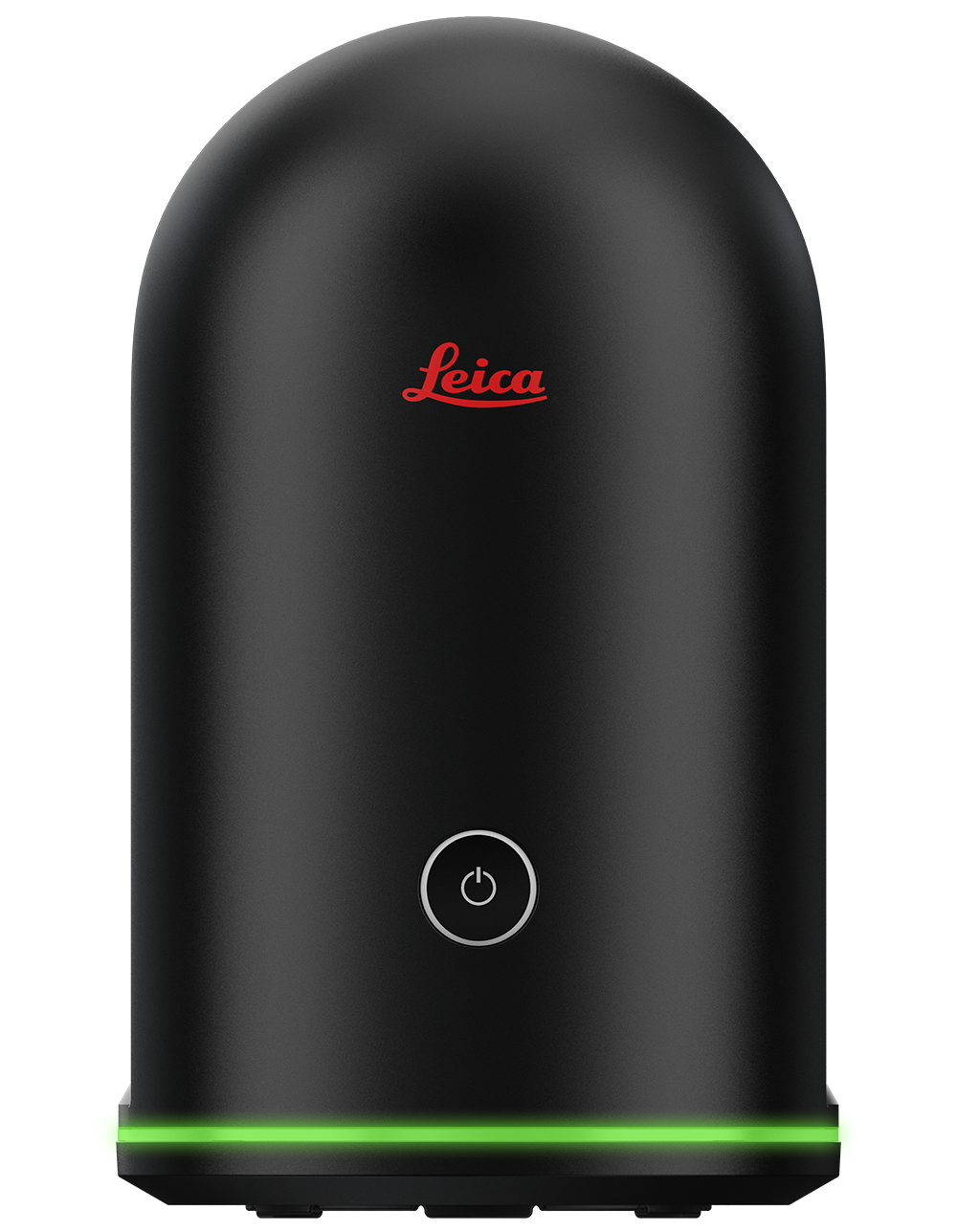
REMOTE COLLABORATION
WITH THE BLK360
REMOTE COLLABORATION
WITH THE BLK360
Collaborate with anyone, anywhere, when you upload BLK360 digital twins to Leica Geosystems software and cloud-based sharing tools like TruView and JetStream Viewer.
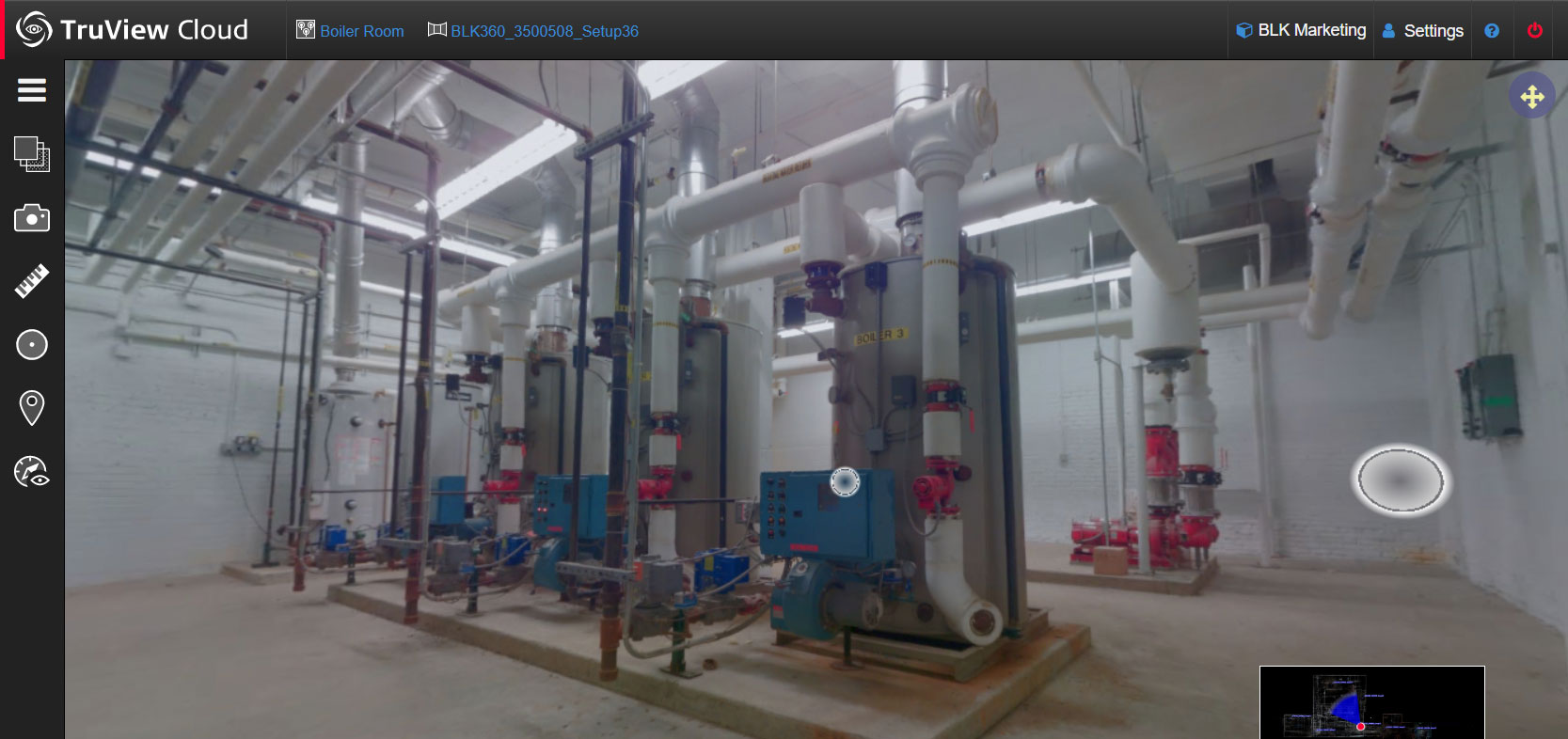
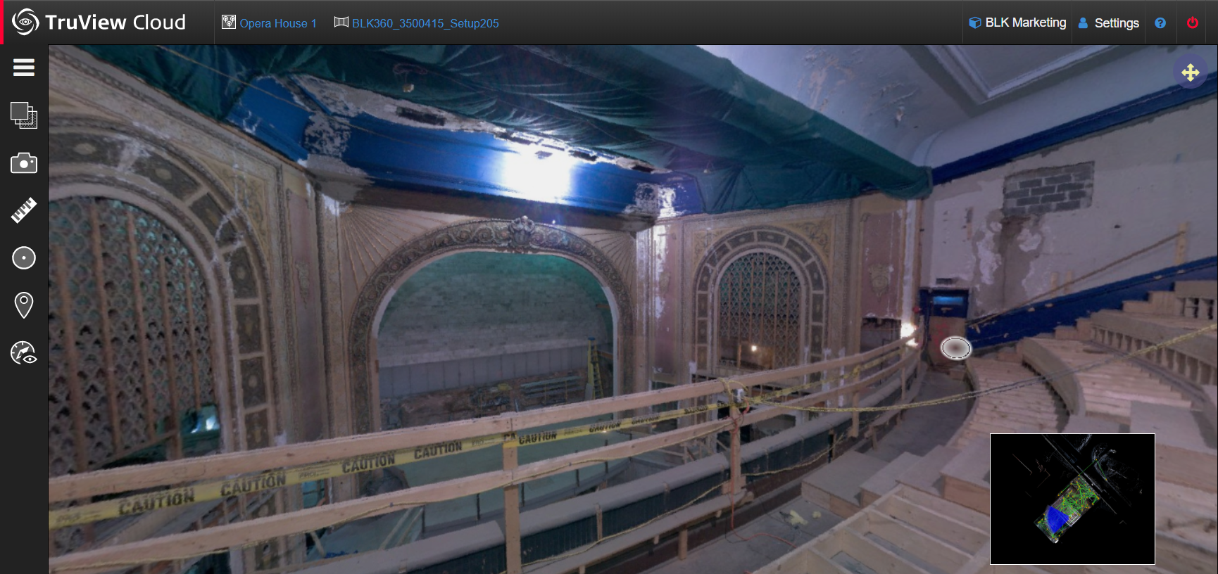
TRUVIEW
360º Project Tours and Sharing
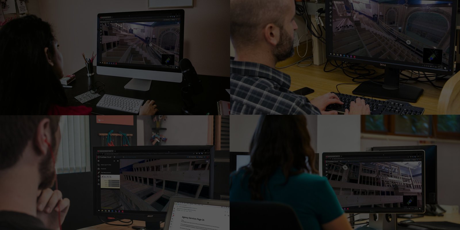
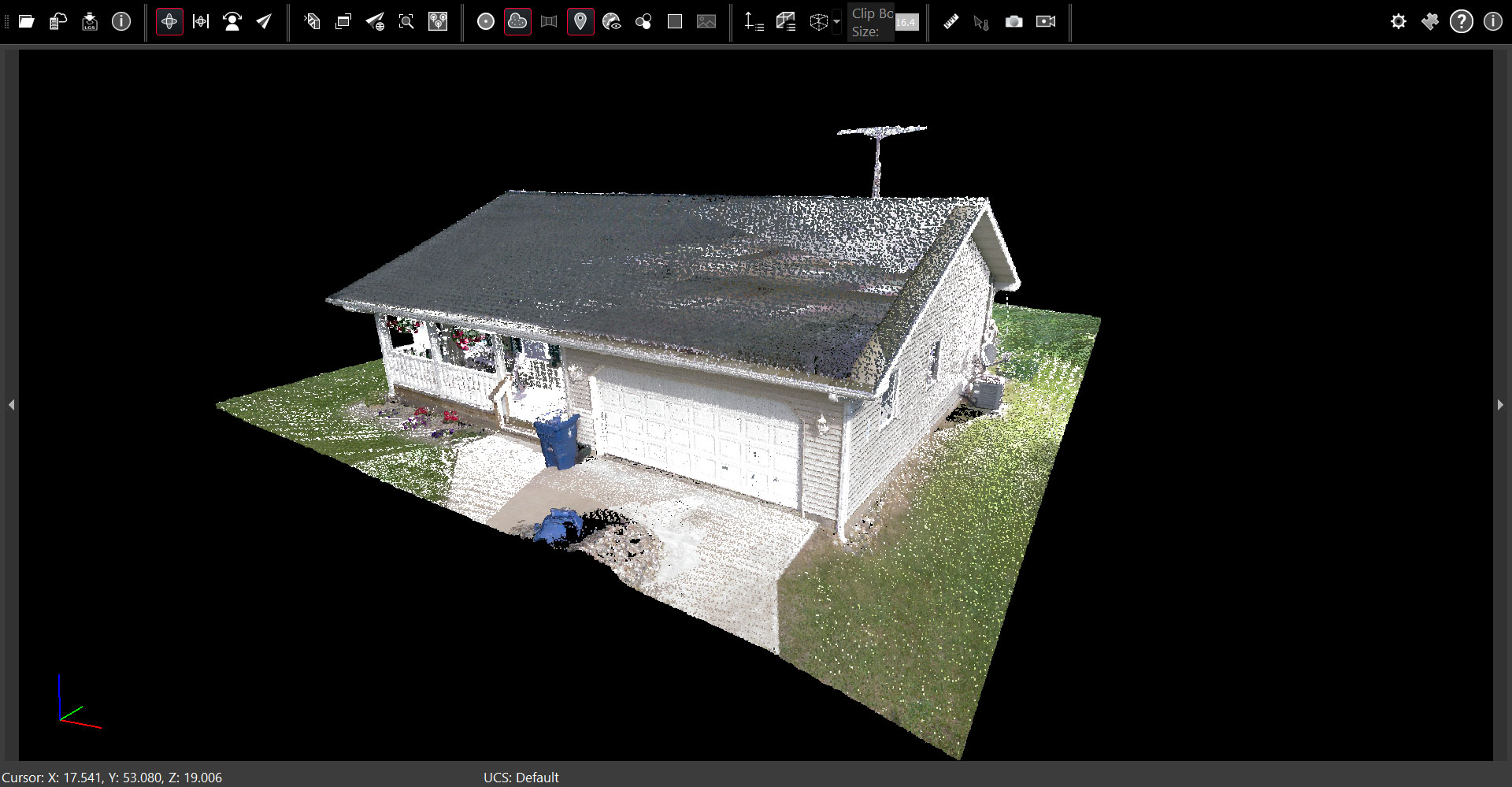
View BLK360 scans and imagery from the scanner’s own perspective. TruView is a cloud-based tool for remote work that allows you to view and share scan projects. Hop from scan location to scan location and view each scan setup in 360 degrees, including point clouds and imagery, by virtually accessing the data in a browser. Upload your projects to TruView and share them with anyone in the world with secure and private data sharing. It is a simple, easy to use, and accessible way to collaborate on your BLK360 projects with no software installation required.
Cloud-Based Collaboration
TruView is the easiest way to share point cloud visuals captured by your BLK360. When you use TruView to upload your BLK360 projects to the cloud, anyone from stakeholders to team members can view your project in a browser via a shared link. TruView offers:
-
Virtual, photo-realistic visits to project sites from anywhere, anytime.
-
Users can view, pan, zoom, measure and markup.
-
No plug-in required, accessible from any browser on any device.
-
Public or private sharing with complete control over access.
JETSTREAM
3D Point Cloud Viewer
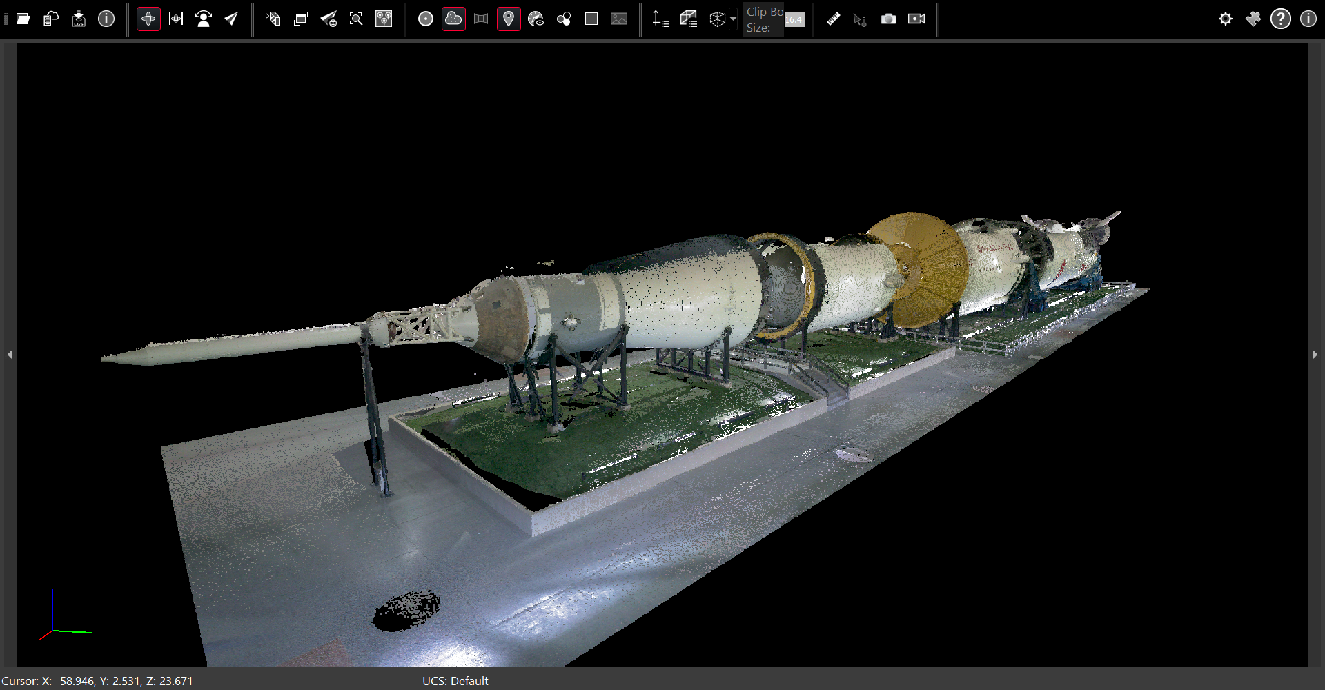
Share 3D point cloud visualizations with other project stakeholders using the JetStream Viewer, which is a powerful powerful desktop application that enables you and your team to view BLK360 point cloud data. Like Leica Cyclone REGISTER 360 PLUS, anyone using JetStream Viewer can move freely through the point cloud in 3D, which acts as a digital twin of your real-world projects. Take measurements and view panoramic imagery directly from .LGS files.
3D Project Visualization
Use the JetStream Viewer to visualize .LGS formatted point clouds and imagery in 3D to collaborate with your colleagues. JetStream provides access to your data like a digital twin, and its primary purpose is for visualization:
-
Move freely through point clouds in 3D.
-
Take screen recordings of point cloud flythroughs.
-
Create visual presentations directly from BLK360 data.
-
Use .LGS files to quickly deliver smooth visualization of your work.
Download a zip file below that includes sample BLK360 data in the .LGS format and the JetStream Viewer installer.
Start with REGISTER 360 PLUS
Already using REGISTER 360 PLUS to register, clean and export your BLK360 scans? Then you are ready to begin collaborating in TruView and JetStream Viewer.
New to REGISTER 360 PLUS? Watch this video to learn more about best-in-class point cloud processing from Leica Geosystems.
START COLLABORATING.
Contact our reality capture software experts for a virtual demo of TruView and JetStream Viewer