Skip to main content
Browse Products
Laser Scanners
:
BLK Series fixed, handheld, and autonomous LiDAR
Measurement Tools
:
DISTO laser distance meters and LINO laser levels
Utility Detection
:
GPR, Concrete Scanners, Cable Locators
Professional GPS
:
Mapping and GIS
Survey Accessories
:
A selection of our best-selling survey gear accessories
Search Leica Geosystems's store
Utility
Support
US
Select your language
English
German
Italian
French
Japanese
Spanish
Leave this field blank
Contact
Sign In
Contact Menu
Contact
User account menu
Sign In
Search Leica Geosystems's store
Utility
Support
US
Select your language
English
German
Italian
French
Japanese
Norwegian
Spanish
Leave this field blank
Close the product filter.
Filter
Clear All
Remove theGISfilter
GIS
Remove theGround Penetrating Radarfilter
Ground Penetrating Radar
Remove theConcrete Scannerfilter
Concrete Scanner
Remove theIncident Mapping Suitefilter
Incident Mapping Suite
User Sign In
Login
Username
Password
Reset your password
Showing 12 of 40
Sort:
Price: High to Low
Price: Low to High
Newest First
Newest Last
Items:
12
18
24
- All -
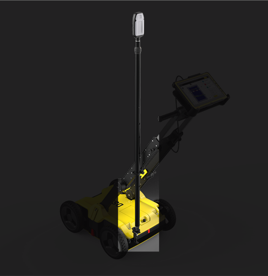
DS2000
$16,706.5
Buy
DSX
$19,415
Buy
C-thrue Concrete Scanner
$14,565
Buy
C-thrue XS
$13,310
Buy
FLX100 plus for DSX
$7,598.5
Buy
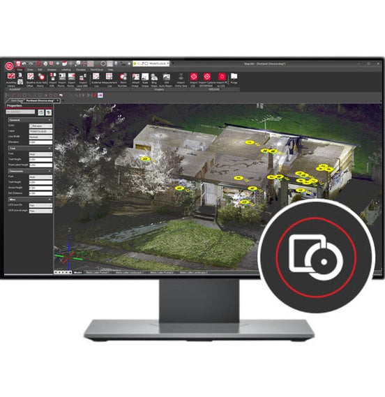
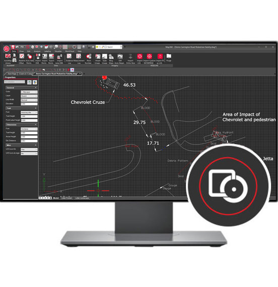
Map360 Pro
$6,400
Buy
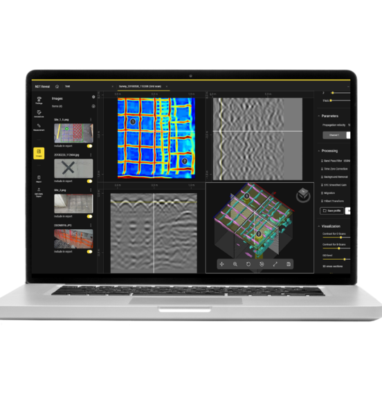
NDT Reveal
Buy
Leica FLX100 plus
$6,200
Buy
C-thrue remote Desktop and AR Kit
$5,850
Buy
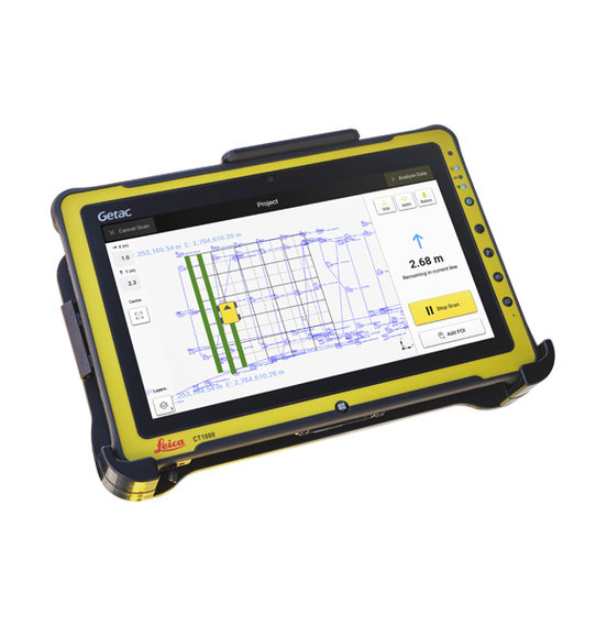
CT1000 Controller with LTE
$2,900
Buy
DXplore Survey
$2,200
Buy
Map360 Standard
$2,000
Buy
Pagination
Current page
1
Page
2
Page
3
Page
4
Next page
Last page
Last