LEICA BLK2GO
MOBILE MAPPING. SIMPLIFIED.
LEICA BLK2GO
MOBILE MAPPING. SIMPLIFIED.
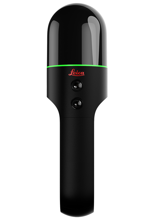
The BLK2GO is a handheld imaging laser scanner that creates a 3D digital twin while you walk through a space. It is the fastest and easiest way to scan a large building, structure or environment.
Simple
One button is all you need to control the BLK2GO. Turn it on, walk, and the BLK2GO takes millions of accurate measurements to recreate the space around you in 3D.
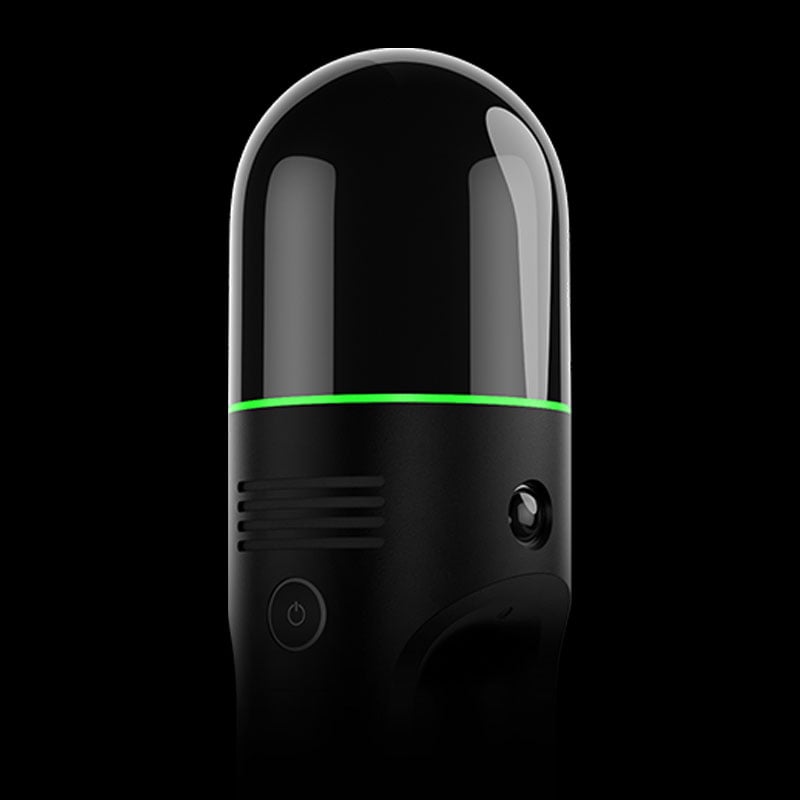
Sleek
A masterpiece of cutting-edge engineering design.
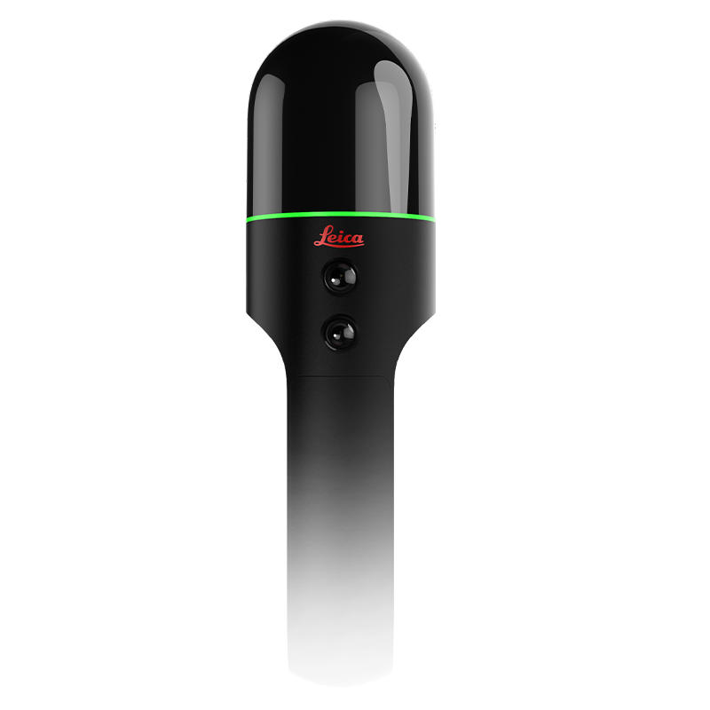
Fast
The BLK2GO helps you capture an entire building, structure, or other large environment in minutes. All you need to do is walk.
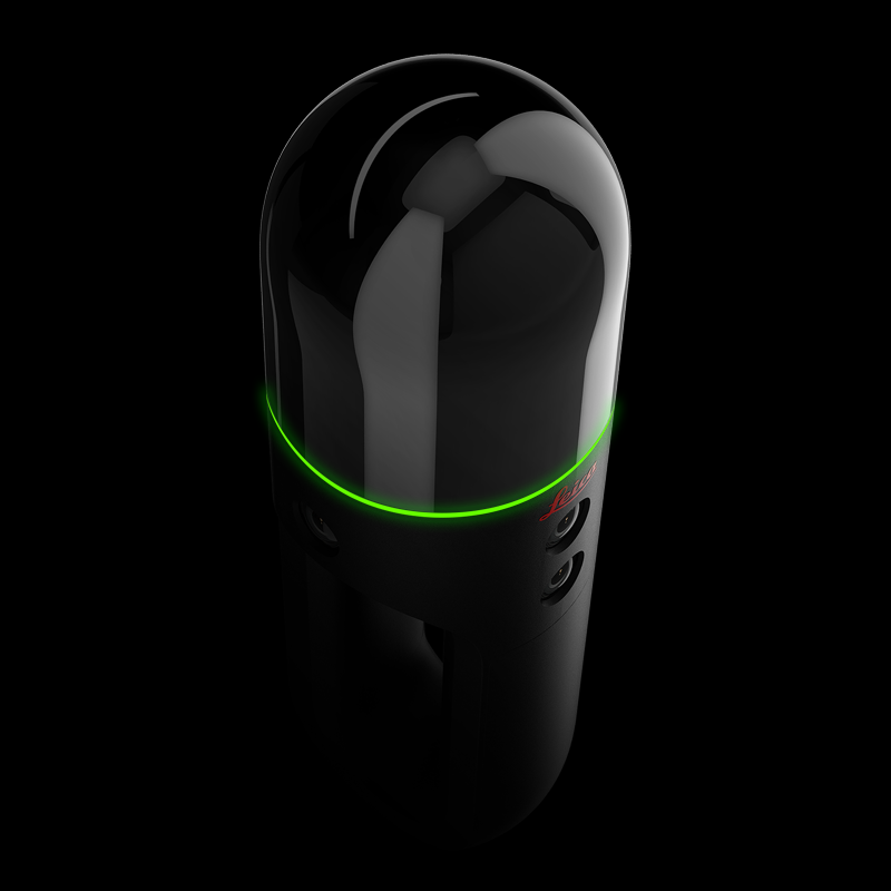
Want a Virtual Demo?
Schedule a video call with one of our product specialists to see the BLK2GO in action and answer your questions.

Take the BLK2GO for a free test drive.
The BLK demo kit is a 2-Day free trial of the BLK2GO. We’ll ship it straight to you so you can try it out at your home or office.
Available in the US/ Canada only.
Grab & Go
The BLK2GO drastically reduces the time needed to plan and scan on-site, and it doesn’t need a tripod or a trained operator.
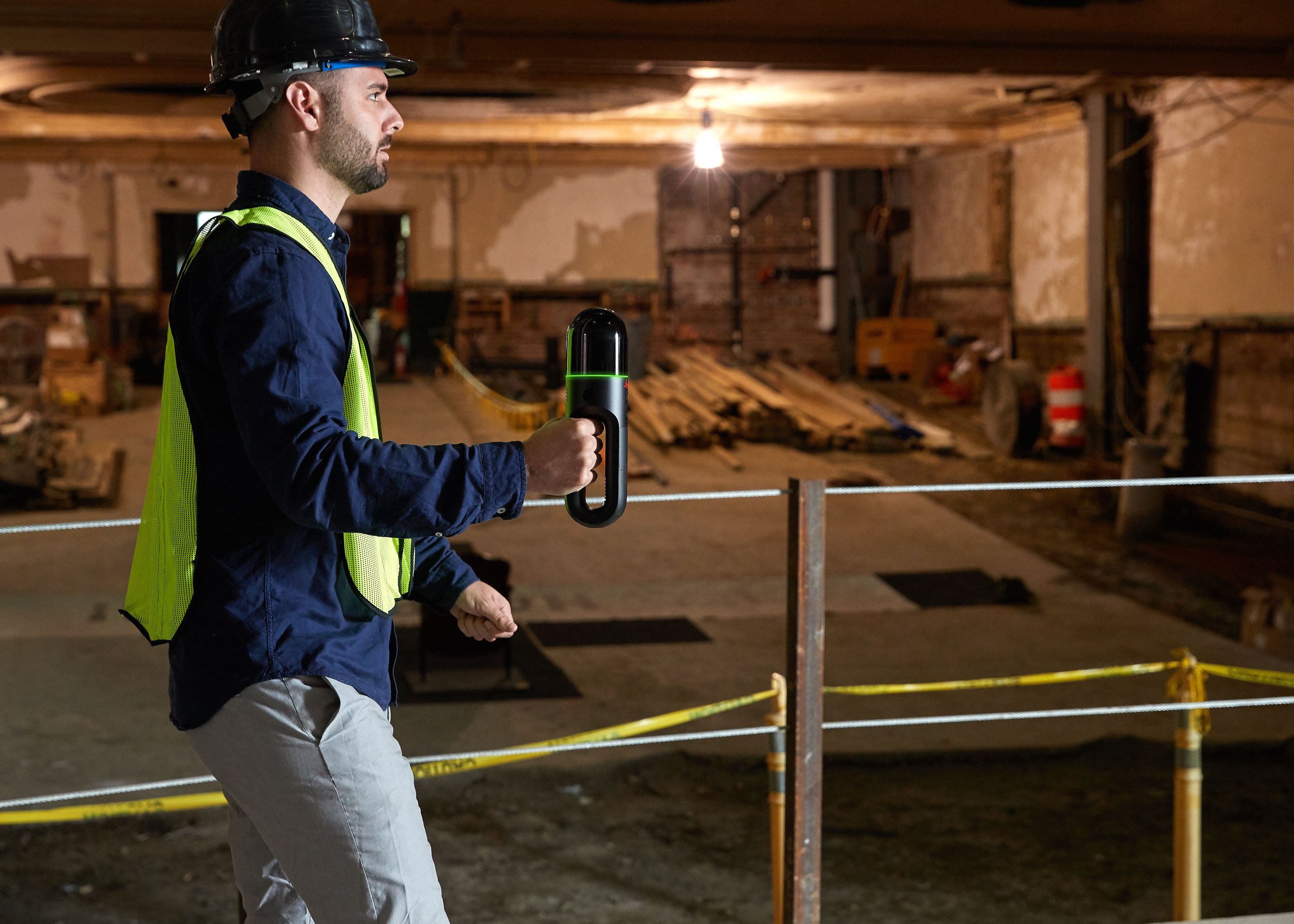
GrandSLAM
BLK2GO GrandSLAM technology simplifies mapping spaces in real-time.
Model with Confidence
BLK2GO data is the foundation for accurate floorplans, BIM models, and 3D visualizations.
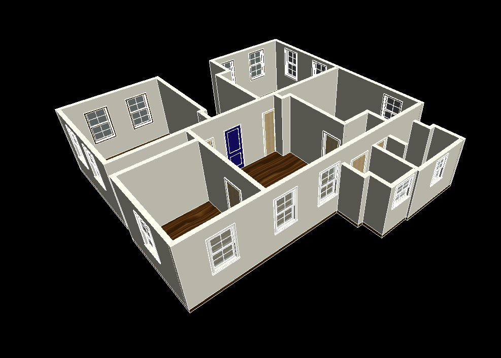
RECOGNIZED

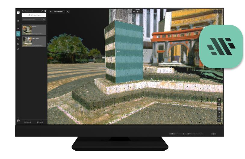
Reality Cloud Studio
powered by HxDR
Leica BLK autonomous sensors upload data directly to Reality Cloud Studio, Hexagon’s powerful cloud application for automated digital reality – including advanced yet easy-to-use features like auto-register and auto-mesh.
Upload scans of compatible file types to Reality Cloud Studio for data storage, stunning visualization, and up-to-the-minute collaboration.
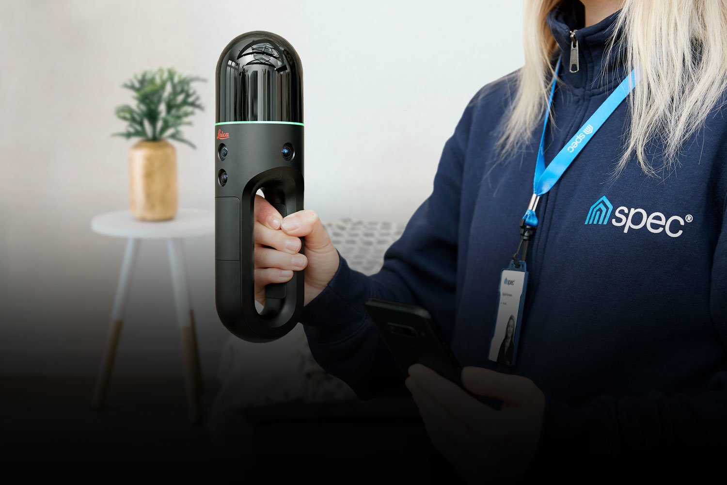
Check out what some of our most innovative customers are doing with the BLK2GO.
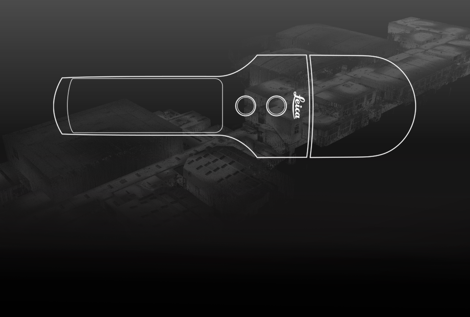
Learn how the BLK2GO’s design makes it the fastest and easiest-to-use handheld imaging laser scanner.
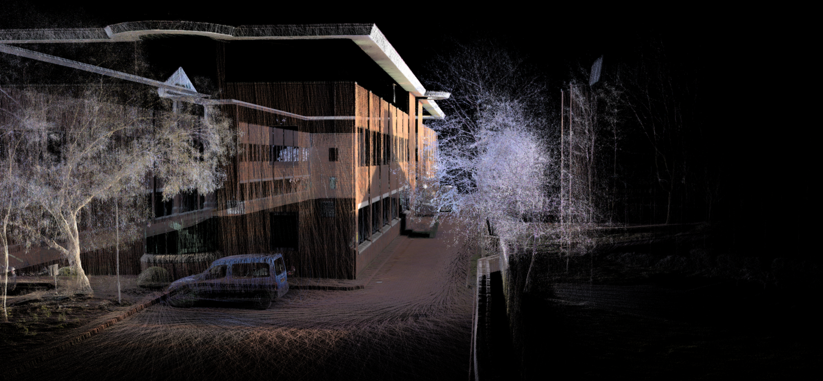
Download BLK2GO Data
Want to view and explore BLK2GO data for yourself? Check out our immersive datasets of 3D point clouds and models captured by the BLK2GO while in motion. This data can give you a sense of what it’s like to work with mobile mapping data. These datasets include indoor scans, outdoor scans, multi-setup scans, and projects of varying size and scope.
